
SlideServe
Menu
Préférences
© SlideServe · v2026

System Integration Plan

keaton-davenport avatar
1 diapositives · 156 Views · Oct 26, 2014

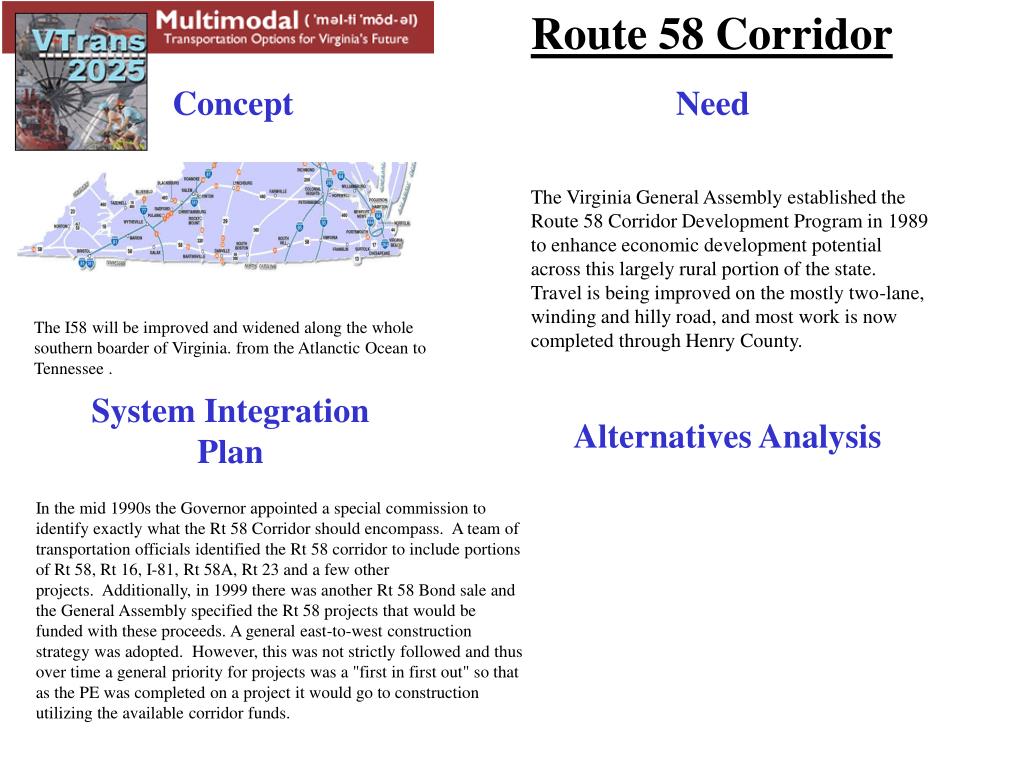
Established in 1989, the Route 58 Corridor Development Program aims to boost economic potential in rural Virginia. The program focuses on improving travel along the winding, two-lane Route 58, with significant enhancements already completed in Henry County. Future plans include widening and enhancing the entire southern border of the state, connecting the Atlantic Ocean to Tennessee. In the mid-1990s, a commission outlined the corridor's scope, which now includes related routes and projects funded by bonds, employing a priority system for construction based on project readiness.
System Integration Plan - slide 1
01 / 1System Integration Plan
1 / 17

Télécharger la présentation

System Integration Plan
Une image / un lien ci-dessous est fourni (tel quel) pour télécharger la présentation

Politique de téléchargement : le contenu du site vous est fourni TEL QUEL pour votre information et votre usage personnel ; il ne peut être vendu, concédé sous licence ni partagé sur d’autres sites sans l’accord de son auteur.Le contenu vous est fourni TEL QUEL, pour votre information et votre usage personnel uniquement. Téléchargez la présentation en cliquant sur ce lien. Lors du téléchargement, si vous ne parvenez pas à télécharger une présentation, l’éditeur a peut-être supprimé le fichier de son serveur.Pendant le téléchargement, si vous ne parvenez pas à obtenir une présentation, le fichier a peut-être été supprimé par l’éditeur.

F I N

Plus de contenu associé

Transcription de la présentation
  1. Route 58 Corridor Concept Need The Virginia General Assembly established the Route 58 Corridor Development Program in 1989 to enhance economic development potential across this largely rural portion of the state. Travel is being improved on the mostly two-lane, winding and hilly road, and most work is now completed through Henry County.  The I58 will be improved and widened along the whole southern boarder of Virginia. from the Atlanctic Ocean to Tennessee . System Integration Plan Alternatives Analysis In the mid 1990s the Governor appointed a special commission to identify exactly what the Rt 58 Corridor should encompass.  A team of transportation officials identified the Rt 58 corridor to include portions of Rt 58, Rt 16, I-81, Rt 58A, Rt 23 and a few other projects.  Additionally, in 1999 there was another Rt 58 Bond sale and the General Assembly specified the Rt 58 projects that would be funded with these proceeds. A general east-to-west construction strategy was adopted.  However, this was not strictly followed and thus over time a general priority for projects was a "first in first out" so that as the PE was completed on a project it would go to construction utilizing the available corridor funds.