Download
1 / 16
170 likes | 290 Vues
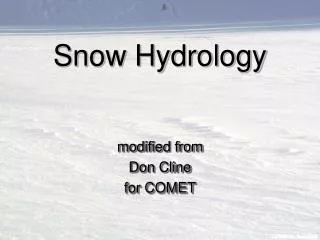
This presentation discusses the significance of precise snow measurement and the challenges encountered in harsh environments at the Marshall testbed, part of NCAR and NOAA's R&D efforts. It highlights various methods for measuring snow depth, including ultrasonic sensors, laser rangefinders, and GPS interference reflectometry, along with their practical implications. The work is crucial for understanding spatial variations in snow depth and improving precipitation measurements, which is vital for climatic and hydrological studies, especially in extreme conditions.

E N D
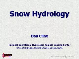
Automated Snow Measurement R&D at NCAR and NOAA: the Marshall testbed • Ethan Gutmann, Bruce Baker, Roy Rasmussen, John Kochendorfer, David Gochis, Scott Landolt, Tilden Meyers, Kristine Larson • 5/25/2011
Snow measurement importance • Which size snowplow would you want?
Snow Measurement is HARD • Spatial variation • Snow depth varies from 0-3m over the space of 50m! • harsh environments • ice on equipment • temperatures <<0C Map of
Existing and Emerging methods • Ultrasonic distance • Scanning (or not) laser rangefinder • GPS interference reflectometry • Precipitation: snow gauges • (COSMOS, Snow Pillows, Aircraft LIDAR,…) (*there is always the good old ruler)
Precipitation measurement • Wind shields affect precipitation measurement
Ultrasonic Snow Depth • Bounce a sound wave off the snow • footprint: ~1m2 • Affected by • air temperature • snow in air
Ultrasonic Snow Depth • Location is critical • Ground surface is critical • Replication is critical • Hourly totals? • 6hr?
Ultra Sonic Depth • Sensor can shift almost imperceptibly • with snow on them... ~30cm Snow Event
Laser Rangefinder (non-scanning) • Bounce light pulse off snow • footprint: 1mm2 • NOT affected by • air temperature • snow in air
Laser Rangefinder (non-scanning) Ultrasonic • Location is critical • Ground surface is critical • Signal is cleaner • hourly totals... Laser
Scanning Laser Rangefinder • Bounce a light pulse off the snow • footprint: <7km2 • affected by: • snow on lens and in air
Laser Rangefinder (non-scanning) • Produces a map! • Location is NOT (too) critical • Ground surface is NOT (too) critical • Stability is critical
GPS Interference Reflectometry (GPS-IR) • Observe noise in GPS signal • footprint: 2000m2 • affected by: • topography • vegetation
GPS-IR • Location is important • Ground cover is important • Free existing networks! • ~1-2hr averages...
Sensor Review Comments Location / Cheap Location / Cheapish Stability / Cost Location / (Free) Accuracy / Cost / Time Accuracy 1cm 1mm <1cm ~1-2cm >5-10cm Area 1m2 1mm2 <7km2 3000m2 100km2 • Sonic • Laser • Scanning • GPS • Lidar