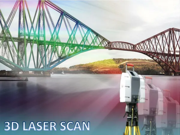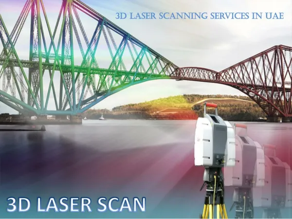
Laser Scanning Systems
Laser Scanning Systems. Prepared by Kerry Hall. University of Illinois at Urbana-Champaign. Desired Parameters. Fast collection of many points Non-contact Adequate measurement volume Adequate accuracy Using a laser. Basic Methods. Time of Flight Precise time measurement multiplied by c

Laser Scanning Systems
E N D
Presentation Transcript
Laser Scanning Systems Prepared by Kerry Hall University of Illinois at Urbana-Champaign
Desired Parameters • Fast collection of many points • Non-contact • Adequate measurement volume • Adequate accuracy • Using a laser
Basic Methods • Time of Flight • Precise time measurement multiplied by c t - Measured time c / n - Speed of light in air • Phase-Shift • Measures phase-shift of wave • Uses multiple frequencies to measure large distance and refine - Measured phase angle λ- Wavelength
Faro Laser Scanner • Phase-shift measurement of infrared for distance • 76m, 9.6m , 1.2m wavelengths • Accurate measurement of mirror and unit rotation • 0.009° vertical resolution, 0.00076° horizontal • Collects data spherically • 360°x320°x76m field of vision
Faro Laser Scanner • Non-contact, no markers required • 120,000 points/sec • 3mm (0.1”) linearity error at 10 m • “Registration” spheres used to splice scans
Faro Applications • Verification in construction and manufacturing • Identifies differences from expected shapes • Useful in generating as-built drawings • Surveying volumes and surfaces • Accurate volume calculation • Forensics • Quick measurement of position and shape of every object
Similar Systems • NVision MobileScan 3D • Non-contact • 0.01” accuracy • 34,000 pts/sec • Stand-off distance limited to 40” • Leica HDS3000 Laser Scanning System • Time of Flight measurement • 1800 pts/sec • 6mm (0.2”) accuracy at 50m • Calculated 1.5mm if targets are planar • 360°x270°x100m(328ft) field of vision
Conclusions • Faro most useful for large areas with many points • 1/8” error too great for many structures experimental applications • Not sufficient for strain or crack width, questionably crack location • Similar systems limit range • Inverse relation between range and accuracy
Proprietor Links • www.faro.com • www.nvision3d.com • www.leica-geosystems.com