9. GIS Data Collection
9. GIS Data Collection. Overview. Introduction Primary data capture Secondary data capture Data transfer Capturing attribute data Managing a data capture project. Data Collection. One of most expensive GIS activities Many diverse sources Two broad types of collection

9. GIS Data Collection
E N D
Presentation Transcript
Overview • Introduction • Primary data capture • Secondary data capture • Data transfer • Capturing attribute data • Managing a data capture project
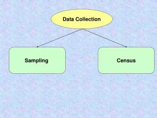
Data Collection • One of most expensive GIS activities • Many diverse sources • Two broad types of collection • Data capture (direct collection) • Data transfer • Two broad capture methods • Primary (direct measurement) • Secondary (indirect derivation)
Preparation Evaluation Planning Digitizing / Transfer Editing / Improvement Stages in Data Collection Projects
Primary Data Capture • Capture specifically for GIS use • Raster – remote sensing • e.g. SPOT and IKONOS satellites and aerial photography • Passive and active sensors • Resolution is key consideration • Spatial • Spectral • Temporal
Spatial and temporal characteristics of commonly used Earth observation remote-sensing systems and their sensors
Vector Primary Data Capture • Surveying • Locations of objects determined by angle and distance measurements from known locations • Uses expensive field equipment and crews • Most accurate method for large scale, small areas • GPS • Collection of satellites used to fix locations on Earth’s surface • Differential GPS used to improve accuracy
Secondary Geographic Data Capture • Data collected for other purposes can be converted for use in GIS • Raster conversion • Scanning of maps, aerial photographs, documents, etc • Important scanning parameters are spatial resolution and bit depth
Vector Secondary Data Capture • Collection of vector objects from maps, photographs, plans, etc. • Digitizing • Manual (table) • Heads-up and vectorization • Photogrammetry – the science and technology of making measurements from photographs, etc. • COGO – Coordinate Geometry
Batch vectorization of a scanned map (A) original raster file (B) vectorized polygons Adjacent raster cells with the same attribute values are aggregated. Class boundaries are then created at the intersection between adjacent classes in the form of vector lines
Typology of human errors in digitizing: (A) undershoots and overshoots; (B) invalid polygons; and (C) sliver polygons
Mismatches of adjacent spatial data sources that require rubber-sheeting
Data Transfer • Buy vs. build is an important question • Many widely distributed sources of GI • Key catalogs include • US NSDI Clearinghouse network • Geography Network • Access technologies • Translation • Direct read
Summary • Data collection is very expensive, time-consuming, tedious and error prone • Good procedures required for large scale collection projects • Main techniques • Primary • Raster – e.g. remote sensing • Vector – e.g. field survey • Secondary • Raster – e.g. scanning • Vector – e.g. table digitizing