Download
1 / 20
200 likes | 291 Vues
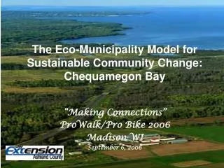
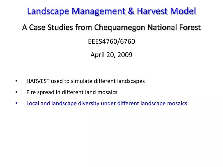
Landscape Management & Harvest Model A Case Studies from Chequamegon National Forest EEES4760/6760 April 20, 2009. HARVEST used to simulate different landscapes Fire spread in different land mosaics Local and landscape diversity under different landscape mosaics.

E N D
Landscape Management & Harvest Model A Case Studies from Chequamegon National Forest EEES4760/6760 April 20, 2009 • HARVEST used to simulate different landscapes • Fire spread in different land mosaics • Local and landscape diversity under different landscape mosaics
Landscape Management: Managing landscapes in space and time. Harvest Model (http://nrs.fs.fed.us/tools/harvest/): was designed as a strategic research and planning tool, allowing assessment of the spatial pattern consequences of broad timber management strategies. The model is well suited to evaluate alternative strategies, providing comparable predictions about how the alternatives affect the age (or successional stage) distribution and forest type composition of the forest, the spatial distribution of forest interior and edge habitats, and the patch structure of the resulting forest landscape. With HARVEST, the object is not to find a scheduling solution (i.e., determining the order in which individual stands should be harvested), but to assess the spatial pattern consequences of general management strategies.
Objective To study the dynamics of understory plant species diversity, as a function of landscape structure when alternative harvesting at both stand and landscape levels are applied using a harvest allocation model (HARVEST) and a stand projection model.
What Is HARVEST? • GIS-based research / planning tool • Assess spatial pattern consequences of broad timber management strategies (harvesting allocation) • INPUT • GIS Coverages: • -stand age & id • -management area • -forest types • Constraints (riparian buffers, etc.) • Cutting Guidelines • -total area harvested • -size distribution of openings • -rotation interval • -spatial dispersion of harvests • OUTPUT • GIS Coverage: • -stand age • Analysis Options Gustafson & Crow (1996)
HARVEST Simulations • All Simulations Run for 200 Years • Buffer Patches in GIS (20 m each side) • Buffer Roads (20 m each side) • Cutting Guidelines Applied According to Distinct Management Areas • Minimum Patch Size=0.08 ha Output (Text File) • Original Vegetation Type • Stand Age • Area • Edge Zone Occurrence • -Roads • -Different Patches Current Patch Type Classification
Current Patch Type Classification • Shrubs & Herbs • Mature Hardwoods • Young Hardwoods • Mature Red Pine • Mature Jack Pine • Young Pine • Mixed Hardwood/Pine • Wetland • New Clearcuts/Non-Vegetated • Hardwood Road Zone • Red Pine Road Zone • Pine/Clearcut Edge (in forest) • Clearcut/Pine Edge (in clearcut) • Multiple Edge Zones • Other IF WE HAVE MEASURED DATA FOR CURRENT PATCH TYPE: Assign Proper Probability and Abundance Vectors Obtained from Sampled Plots
Assign probability & abundance vectors from measured data: • Species Probability In a Particular Patch Type = Sampled Frequency in 50m2 Plots • Abundance Vectors = Mean, Std. Of Sampled Abundances in 50m2 Plots Generate Probability Of Occurrence By Species Does Species Occur? YES NO Generate Abundance =Probability From Normal Distribution by species With Mean and Std. Of Measured Abundance NEXT SPECIES
Species Richness Run 1 Run 5 Wetland Red Pine Jack Pine Young Pine Herbs/Shrubs Pine Road Zone Hdwd Road Zone Mixed Hdwd/Pine Young Hardwoods Mature Hardwoods CC/Pine Edge Zone Pine/CC Edge Zone Patch Type
Understory Species Richness Overall Landscape Richness = 237 species (Run 1) = 237 species (Run 5) Run 1 Run 5
Popular Landscape Models • HARVEST • Neutral Model • LANDIS • MOOSE • Tree2.0 • D-AEI
Popular Landscape Models A neutral landscape model (NLM) is any model used to generate patterns in the absence of the specific processes being studied. Predictions from NLMs are intended to define the expected pattern in the absence of a specific process. • HARVEST • Neutral Model • LANDIS • MOOSE • Tree2.0 • D-AEI
Popular Landscape Models • HARVEST • Neutral Model • LANDIS • MOOSE • Tree2.0 • D-AEI
Popular Landscape Models • HARVEST • Neutral Model • LANDIS • MOOSE • Tree2.0 • D-AEI
Popular Landscape Models LANDIS is a spatially explicit landscape model designed to simulate forest landscape change over large spatial and temporal scales. • HARVEST • Neutral Model • LANDIS • MOOSE • Tree2.0 • D-AEI He, Hong S.; Li, Wei; Sturtevant, Brian R.; Yang, Jian; Shang, Bo Z.; Gustafson, Eric J.; Mladenoff, David J. (2005). LANDIS 4.0 Users Guide (PDF Download 4.62 Mb)
Popular Landscape Models The main user interface of LANDIS • HARVEST • Neutral Model • LANDIS • MOOSE • Tree2.0 • D-AEI
Popular Landscape Models • HARVEST • Neutral Model • LANDIS • MOOSE • Tree2.0 • D-AEI
Popular Landscape Models • HARVEST • Neutral Model • LANDIS • MOOSE • Tree2.0 • D-AEI Zheng, D. and J. Chen. 2000. Edge effects in fragmented landscapes: a generic model for delineating area of edge influences (D-AEI). Ecological Modelling 132/3: 75-190.
Popular Landscape Models Fig. 8. Simulated edge effects of radiation • HARVEST • Neutral Model • LANDIS • MOOSE • Tree2.0 • D-AEI