Download
1 / 36
360 likes | 481 Vues
Geospatial Technician Education Through Virginia’s Community Colleges (GTEVCC). VGIN Board Meeting October 14, 2009. Contact Information. Chris Carter Assistant Director Virginia Space Grant Consortium Hampton, Va. cxcarter@odu.edu (757) 766-5210. John McGee, Ph.D. Virginia Geospatial

E N D
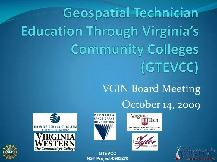
Geospatial Technician Education Through Virginia’s Community Colleges (GTEVCC) VGIN Board Meeting October 14, 2009
Contact Information Chris Carter Assistant Director Virginia Space Grant Consortium Hampton, Va. cxcarter@odu.edu (757) 766-5210 John McGee, Ph.D. Virginia Geospatial Extension Specialist Virginia Tech jmcg@vt.edu (540) 231-2428
A Little Background • The VCCS, The Virginia Geospatial Extension Program, and the Virginia Space Grant Consortium have been working on this “for a while”. • 2003: Strategic planning meeting at PVCC with Bob Bailey and Anne Johnson (ESRI) • Fall 2006: Submitted a “full proposal” to the NSF • Winter 2007: Submitted a planning proposal to the NSF
A Little (more) Background • Spring 2007: Awarded a $150,000 planning NSF/ATE planning grant • Fall 2008: Submitted a “full proposal” to the NSF • Spring 2009: Awarded NSF / ATE funding from the NSF • 3 years • Approximately $900,000
GTEVCC Vision Establish and grow three unique academic pathways in geospatial technology (GST) at partnering VCCS colleges to provide employers in Virginia with a larger pool of skilled geospatial technicians. Pathways will serve as academic models for other VCCS community colleges.
GTEVCC Overarching Project Goal Continue to build a network of partnerships among community colleges, college faculty, business/industry and public sector (employers), universities, and national organizations to improve communication among all GST stakeholders across the state.
GTEVCC-Partners • VSGC managing and administering on behalf of VCCS • Virginia Geospatial Extension Program at Virginia Tech • Virginia Community College System (VCCS) • Virginia Western Community College • John Tyler Community College • Tidewater Community College
GTEVCC-Steering Committee • Rodney Clayton-TCC, Co-I • Dr. John McGee-VT, Co-I • David Webb-VWCC, Co-I • Dr. William Wyatt-JTCC, Co-I • George McLeod-TCC Adjunct, GIS Systems Engineer-ODU • Inez Farrell-VCCS, Director of Instructional Technology • Stephanie Baird Wilkerson-Magnolia Consulting, External Evaluation • Chris Carter-VSGC, PI PI
GTEVCC Advisory Committee • NASA Langley • Michael Baker, Inc. • Timmons, Inc. • R&K Engineering • James Madison University • VGIN • Mountain Empire CC • Faculty Emeritus from Virginia Tech • Virginia Department of Education • ESRI • VAMLIS
GTEVCC-Results from Planning Grant • GST Workforce Needs Survey Completed • Virginia DACUM Created • Pilot Workshops Conducted • TCC Established Certificate in GIS • VCCS Geospatial Webportal Planned
GTEVCC-Goals Goal 1 • Build academic pathways in GST at three geographically dispersed community colleges that can serve as models for other community colleges. Goal 2 • Provide professional development for community college faculty and precollege teachers in Virginia to increase use of GST and to disseminate resources. • Workshops; Mentoring ; Connecting
GTEVCC-Goals Goal 3 • Build the GST workforce pipeline by increasing enrollment in geospatial programs. Goal 4 • Create and sustain a GST web portal to serve as a repository for GST pathway models, curriculum, professional development materials, and other resources. Goal 5 • Ensure project participants represent diversity in gender and ethnicity.
GTEVCC High-School Teacher Workshop Goal • Raise the level of GST knowledge and skills among high school teachers (CTE, science, computer) from service region of partnering colleges • Increase integration of GST into the classroom Activities • Conduct one summer workshop for 15 teachers from each service region (3 day + 1 day followup) • VWCC and TCC (2010) • JTCC (2011)
Professional Development for VCCS Faculty John McGee, VT
Goal • Raise the level of GIS expertise at VCCS partnering colleges Summary of Objectives • Conduct two intensive summer workshops (2010 & 2011) for 15 faculty from 10 different colleges, plus • 3 High School teachers (1 from each region) who are moderately experienced in GST
Workshop Approach • The VA DACUM will serve as our “guide” • Hands on lessons and exercises using VA Data • “the best of the best” • Problem solving, project based • Not just “button pushing”...
Workshop Approach • Expanding the network – • Guest speakers: • Community College Faculty: George McLeod, David Webb, Rodney Clayton • MECC Faculty-across the curriculum; Susan Kennedy-MECC Online GIS Certificate Program • Other Community College Faculty: CPCC (Charlotte NC) • Virginia Industry / geospatial employers • VGIN • Local / state governments • Private industry • Textbook and geospatial resource “showcase”
Networking and Marketing • Integration with the National GeoTech Center and the Map@syst Community of Practice (CoP) • VCCS Faculty will learn how to access and populate the VCCS Geospatial Web Portal • Information sharing • Enhance Marketing efforts • Dependable access to organized links • VCCS branded • Calendar of GIS events in VA
Challenges & Opportunities(just to name a few…) • Work with software that is “current” (we need to anticipate ArcGIS 9.4 and whatever else is coming down the road) • Provide VCCS faculty with intensive instruction, without overwhelming them • Provide VCCS faculty with the confidence and vernacular to help them network and problem solve
Challenges & Opportunities(continued) • Introduce VCCS faculty to a network of resources to support their teaching efforts • National GeoTech Center • Other regional / local resources • Online training • Data & software access • Local, state, and national points of contact • The VCCS Geospatial Web Portal • Map@syst
Challenges & Opportunities(continued) • Provide VCCS faculty with initial data that is applicable to their specific geographic areas; • Provide VCCS faculty with training and an educational structure that will support the needs of Virginia’s geospatial employers (train the trainer…); • Recruit VCCS faculty to attend the intensive workshops – If faculty don’t know “what it [GIS] is” then they will not be interested in attending…; • Support the establishment of a network whereby VCCS faculty (and others) can serve as mentors.
The Workshop • July 24 to July 30th, 2010 • Held at the Virginia Tech the Center for Environmental Applications of Remote Sensing (CEARS) • 7 day Workshop • VCCS faculty will receive room, M&IE, and a stipend to attend • Community Colleges are responsible for transportation expenses to / from Blacksburg
VCCS WebPortal • Discourage stove-piping by providing an efficient mechanism to support sharing and communication between VCCS geospatial faculty • Provide geospatial related information to students • Provide one-stop shopping to external geospatial information • This resource is not intended to be a spatial data clearinghouse, or repository but could evolve into such a resource in the future if warranted.
The VCCS WebPortal • Drupal based • Open source • “Modules”, and add-on tools / etc. have been developed, and are easily available already • Templates available for each community college presence • Multiple user privilege levels • Statistics generator to support reporting
Key Content Areas Identified by the Workgroup:
In short • The VCCS is well poised to support Geospatial Workforce development in Virginia • Requires marketing, workforce development, coordination, and development of model programs • Faculty are excited • Virginia’s industry is excited
Program Assistance • VGIN has provided leadership already, both formally and informally • Serve on the advisory board for both the planning grant and the present grant • VGIN employees (Stuart Blankenship and John Scrivani) have been serving as adjunct faculty at community colleges and continue to provide vital input throughout this process • VGIN’s framework datasets have been, and will continue to be used by Community College faculty
What Assistance Can VGIN Provide? • Support marketing / awareness efforts of the program through local, regional, and state meetings (as well as NSGIC and national venues); • Continued leadership on the advisory committee; • Participation / presentation at the VCCS Geospatial Institute in Blacksburg, VA (July 24th – 30th, 2010);
What Assistance Can VGIN Provide (continued)? • Continued leadership and mentorship at VCCS member institutions / GIS Day (regional coordinators and others); • Assistance with the VCCS Web Portal; • Assistance disseminating geospatial framework data to VCCS instructors / institutions. Note: this is not a “one shot” deal. This effort will need to be sustained for several years.