Situational Awareness for Flash Flooding
190 likes | 381 Vues
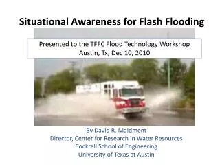
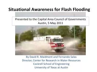
Presented to the Capital Area Council of Governments Austin, 5 May 2011. Situational Awareness for Flash Flooding. By David R. Maidment and Fernando Salas Director, Center for Research in Water Resources Cockrell School of Engineering University of Texas at Austin.

Situational Awareness for Flash Flooding
E N D
Presentation Transcript
Presented to the Capital Area Council of Governments Austin, 5 May 2011 Situational Awareness for Flash Flooding By David R. Maidment and Fernando Salas Director, Center for Research in Water Resources Cockrell School of Engineering University of Texas at Austin
Local Information during Tropical Storm Hermine(7-8 Sept 2010) Upper Brushy Creek (Round Rock) LCRA Bring data together into one system http://hydromet.lcra.org http://ubcwcid.org/Overview/Overview.aspx?id=1 TV City of Austin http://coagis1.ci.austin.tx.us/website/COAViewer_fews/viewer.htm
WaterML web services: Colorado River at Austin I accessed this WaterML service at 4:15AM http://waterservices.usgs.gov/nwis/iv?sites=08158000&period=P7D¶meterCd=00060 And got back these flow data from USGS which are up to 3:15AM Central time
ArcGIS Online GIS on the web – online map services http://www.arcgis.com
Topographic Base Map in ArcGIS Online World United States Texas Austin Home
Topographic Base Map Service http://explorer.arcgis.com/?open=c50ba5510cfa4663ae417eb4a56cc336
River Gage Web Services USGS, LCRA and City of Austin Gages whose flood stage heights are undefined as yet
River Channel Data Services http://explorer.arcgis.com/?open=ad7c4dbe299a458ca52b9caa725a2d4d
IBM is collaborating with UT…. …. to help build a Smarter Planet
VLSI simulation models for electric circuit design….. ….. adapted to apply to river networks
Outputs Web Services HUB Inputs USGS LCRA NWS COA Observation Data Services (WaterML) AHPS Web Services HUB Observation Data Services (WaterML) Mapping Services (WFS) Channel Data Services (WFS) Mapping Services (WFS) Data Services (WFS) Modeling Services Models Maps
Possible next steps:Identify/confirm constituentsMap out initial use casesFinalize architectureIdentify funding avenues We would like to work with CAPCOG