Download
1 / 25
250 likes | 265 Vues
This briefing provides an overview of the FY2004 budget for NOAA's Satellite and Information Services, including information on operational services, major programs, funding trends, and the challenge of managing increasing amounts of data.

E N D
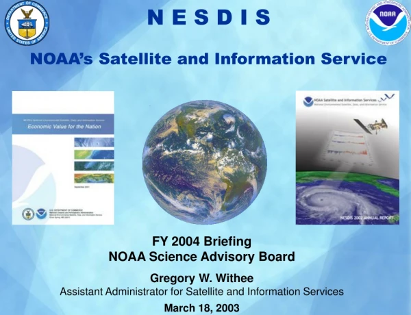
N E S D I S NOAA’s Satellite and Information Service FY 2004 Briefing NOAA Science Advisory Board Gregory W. Withee Assistant Administrator for Satellite and Information Services March 18, 2003
NOAA Operational Services Needing Support • Themes • Ecosystem Management • Climate Variability and Change • Weather and Water • Commerce and Transportation Operational Services • Weather Service • Climate Service • Ocean Service • Coastal Service • Fisheries Service
NESDIS Data and Information are Essential for… Weather and Hazards Oceans Climate Industry Defense Transportation Agriculture
Launch Command & Control Acquisition Requirements & Planning Real-Time Product Development Archive & Access Assessments User Services An End-to-End Responsibility
Major Programs 0530 1330 0930 Geostationary Operational Environmental Satellite (GOES) Polar-orbiting Operational Environmental Satellite (POES) National Polar-orbiting Operational Environmental Satellite System (NPOESS) Satellite Operations and Satellite Data Processing & Distribution Environmental Data Management Applications Research and Development
FY2004 President’s Budget $837.5M Geostationary Orbiting Satellites 33.1% Polar Orbiting Satellites 46.7% Polar K-Nl$114.4M / 13.7% NPOESS $276.7M / 33.0% GOES I-M $0.6 / 0.0%% GOES N Series $172.2 / 20.6% GOES R Series $104.7 / 12.5% $391.1M $277.5M $59.1M $91.2M Construction $12.8M 1.5% NOAA Data Centers &Information Services7.1% Environmental SatelliteObserving Services 10.9% Other $5.8M 0.7%
FY1996 – FY2004 Funding Trend Systems Acquisition Operations
NPOESS Instruments in Development/Production Phase Cross-track IR Sounder (CrIS) [Engineering Development Unit] ITT Visible/IR Imaging Radiometer Suite (VIIRS) Raytheon Conically scanning Microwave Imager/Sounder (CMIS) Boeing Advanced Technology Microwave Sounder (ATMS) [NASA/GSFC Notional Design] Aerojet Ozone Mapping & Profiler Suite (OMPS) [Artist Conception] Ball
NPOESS Satellite Program $276.7 0530 1330 0930 Local Equatorial Crossing Time FY2004 funding supports: • Development & production of NPOESS instruments • Continuance of the spacecraft Engineering and Manufacturing Development contract • total system architecture trades • Four major NPOESS segments • Space • Interface Data Processing • Command, Control, and Communications • Launch Support • NPOESS Readiness date of 2009 METOP NPOESS NPOESS
Environmental Satellite Observing Services(Dollars in Thousands)
Environmental Satellite Observing Services $91.2M Satellite Command and Control $36.9M -Operates and acquires data from POES, GOES, DMSP and other satellites -Includes command center and CDAs in Wallops and Fairbanks Product Processing and Distribution $27.6M -Collects, processes, and distributes satellite products and services -Provides expert analysis and interpretation of data, and operates search and rescue program
Environmental Satellite Observing Services (continued) $91.2M Product Development, Readiness, and Application $25.6M -Ensures quality and usefulness of satellite remote-sensing data -Includes efforts in Ocean Remote Sensing, Joint Center for SDA, Coral Reef Monitoring, and Global Winds Commercial Remote Sensing Licensing and Enforcement $1.2M -On behalf of Secretary of Commerce, NOAA Satellites and Information grants licenses and reviews policies in the commercial remote sensing industry Credit: Space Imaging 2000
The Challenge: More Data to Manage Projected Archive Growth 15 Years NOAA Data Access By 2004, NOAA will ingest and process more new data in one year than was contained in the total digital archive in 1998. The demand for access to environmental data has grown tremendously since the Internet has made the information available to a much larger customer base.
NOAA Data Centers & Information Services (Dollars in Thousands)
CLASS and Earth Observing SystemData Archive Enhancement • CLASS $3.6M • Improving stewardship of NOAA’s environmental data and information • Making data easily accessible to the world science community and other users in an efficient, secure, cost-effective manner EOS $3.0M • NASA EOS data comprises one petabyte (1015) and will grow by one petabyte per year. • EOS data must be preserved and integrated into NOAA data archives to meet research, business, and government needs.
FY2003 President’s BudgetConstruction – Critical Infrastructure
NOAA Satellite Operations Facility $8.2M Groundbreaking Spring 2003
Earth Observation Summit Washington, D.C. July 31, 2003