
K9 Officer

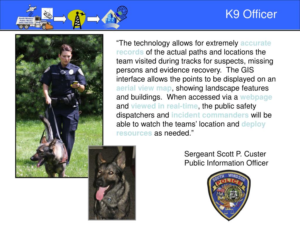
The innovative use of GIS technology allows K9 teams to maintain exceptionally accurate records of their tracking paths, crucial for suspect searches, missing persons cases, and evidence recovery. The GIS interface presents these tracking points on an aerial map, detailing the landscape and surrounding buildings. By accessing this information through a web interface, public safety dispatchers and incident commanders can monitor the K9 teams' real-time locations, effectively coordinating resource deployment as necessary.
Télécharger la présentation 
Politique de téléchargement : le contenu du site vous est fourni TEL QUEL pour votre information et votre usage personnel ; il ne peut être vendu, concédé sous licence ni partagé sur d’autres sites sans l’accord de son auteur.Le contenu vous est fourni TEL QUEL, pour votre information et votre usage personnel uniquement. Téléchargez la présentation en cliquant sur ce lien. Lors du téléchargement, si vous ne parvenez pas à télécharger une présentation, l’éditeur a peut-être supprimé le fichier de son serveur.Pendant le téléchargement, si vous ne parvenez pas à obtenir une présentation, le fichier a peut-être été supprimé par l’éditeur.
F I N