Download
1 / 17
170 likes | 327 Vues
Delivering a world of solutions. Incorporation of the utilisation of technologies for development planning, increasing the efficiency of societies, and disaster mitigation. Bob Ward Director, Global Science Networks Risk Management Solutions. Using models to measure and reduce risk.

E N D
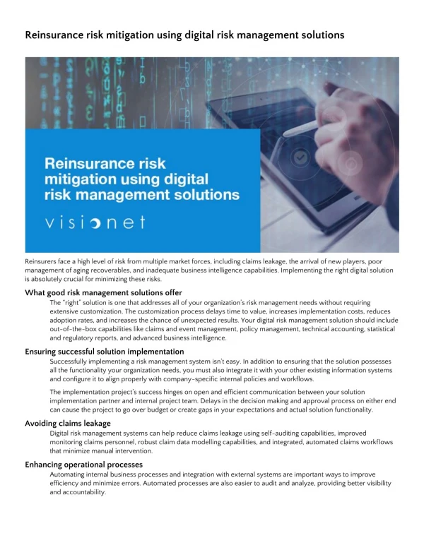
Delivering a world of solutions Incorporation of the utilisation of technologies for development planning, increasing the efficiency of societies, and disaster mitigation Bob Ward Director, Global Science Networks Risk Management Solutions
Using models to measure and reduce risk • Quantification of risk, temporally and spatially, essential for mitigating natural disasters • Risk is combination of hazard and exposure (vulnerability) • For natural disasters, such as earthquakes and tropical cyclones, humans can control exposure but not hazard • Hence need to understand how changes in exposure can affect risk • Models help to choose most effective ways of reducing risk
RMS and RMSI: Experts in cat risk • Risk Management Solutions (RMS) is leading provider of expertise, products and services for quantifying and managing catastrophic risk • Offices across world – many clients in insurance and other financial sectors • RMSI develops innovative geospatial and IT solutions that integrate geographical niche information with business applications • RMSI based in Noida, India and owned by RMS – clients include businesses, governments and multilateral funding agencies
Examples of RMS and RMSI projects • Maldives Multihazard Risk • India Catastrophe Risk • Vulnerability and Adaptation to Drought in Andhra Pradesh • Flood Risk in New Orleans
RMSI Project: Maldives Multi Hazard Risk • Business need • UNDP is helping the Government of Mangolia (GoM) to develop a disaster risk profile • December 2004 tsunami changed everything • Recovery and development planning to base on DRM strategy UNDP Initiative for Maldives
Hazard Assessment Hazard Assessment Tsunami Storm Historical data Historical data Earthquake SLR Hazard zones Vulnerability Analysis Exposure Physical Physical Social Social Damages/Losses Affected Population Risk Profiling Risk Profiling Weights Weights Individual hazards and multi hazard Individual hazards and multi hazard Risk indices by island Risk indices by island RMSI Project: Maldives Multi Hazard Risk UNDP Initiative for Maldives • Solution • Countrywide study • 200 inhabited islands (total = 1190 islands) • Hazards • Tsunami • Earthquake • Storms and floods • Climate change • Vulnerability • Physical • Social • Exposures • Buildings, infrastructure and agriculture • GIS base map developed • Remote sensing images used • GIS and Cat risk modeling integration • Hazard and risk maps developed • Assessments represented on a 5 point ordinal scale
RMSI Project: Maldives Multi Hazard Risk • Benefits • Detailed report and base maps delivered • Completed in a challenging timeframe of 6 months flat! • First GIS base map of Maldives developed • GoM is incorporating results in the DRM strategy • UNDP wants to show case the study UNDP Initiative for Maldives
RMSI Project: India Catastrophe Risk Project Case Studies • Business need • World Bank’s pilot study • Helping states to transfer financial risk • Assessment of catastrophic risk for 4 states • Best practices in modeling to be adopted
RMSI Project: India Catastrophe Risk Case Studies • Solution • 3 perils considered: Earthquake, Cyclone & Riverine Flood • Exposure development • GIS based hazard assessments • Vulnerability analysis • Damage & loss computations • GIS maps • Exposure • Hazard • Risk Gujarat 200 yr earthquake hazard Orissa 100 yr Mahanadi flood hazard
RMSI Project: India Catastrophe Risk Case Studies • Benefits • First such study in India • Results delivered in 3 months flat! • In-house GIS data, tools & studies used • Methodology documented in the report • Some findings are “revealing” and challenge popular views • Average earthquake losses are lowest! • Results used in further study by the bank Andhra Pradesh cyclone AAL for housing
RMSI Project: Vulnerability and Adaptation to Drought in Andhra Pradesh • Business need • A World Bank’s initiative to complement GoI & GoAP programs • Long-term assessment of impacts • Development of adaptation strategy • To test risk mitigation and climate change scenarios Case Studies
Hazard Module Historical weather Simulated Weather Generator Stochastic normal & drought events Vulnerability Module Crops Soil Mgmt. Crop Yield Model Planting Area Model Production losses Economic Loss Module Macro-economic data Input-Output Model Macro-economic model Direct & indirect economic losses RMSI Project: Vulnerability and Adaptation to Drought in Andhra Pradesh Case Studies • Solution • Customized from catastrophe risk modeling framework • Probabilistic drought risk assessment model • Hazard module • Vulnerability module • Economic loss module • Micro & macro level analysis • Direct & indirect losses
RMSI Project: Vulnerability and Adaptation to Drought in Andhra Pradesh • Benefits • New analytical framework for a complex problem • Past experience of Cat modeling helped • Findings helped initiate pilot programs and modify existing policies Case Studies
RMS Project: Flood Risk in New Orleans • What is the level of flood risk in New Orleans? And how will it change over time? • The long term future of the city depends on the risk remaining below an acceptable level for those living and running businesses in the city. • Exploration of flood risk through modeling (comprehensive stochastic hurricane tracks, high resolution windfields, storm surges, and fragility of levee systems)
Four locations within the city were chosen for a more detailed study Location 1: Superdome Location 2: French Quarter Location 3: Lower Ninth Ward Location 4: Gentilly Area Key metric: the modeled return period of first flooding from a storm surge at that location Baseline results measuring current risk (in 2006) Additional results measuring future risk based on sensitivity analyses Changes in mean sea level due to geological subsidence and eustatic sea level rise Changes in hurricane activity in the Gulf of Mexico RMS Project: Flood Risk in New Orleans
RMS Project: Flood Risk in New Orleans Mean Sea Level & Hurricane Activity (Changes in Risk over Time)
Conclusions • Models allow risk to be quantified and disaster mitigation options to be explored • Risk needs to be measured both temporally and spatially • Climate change means that many climate-related hazards (eg floods, droughts, cyclones) are increasing • Risk can be reduced, even when hazard is increasing, by decreasing exposure and vulnerability