Download
1 / 10
100 likes | 317 Vues
Use of technology tools in census data dissemination in the Central Bureau of Statistics (CBS), Namibia By Mr. Jackie !Noabeb Senior Analyst Programmer Email: jnoabeb@npc.gov.na Tel: +264 61 283 4074. Data Collection. GIS is used to capture locations and structures around the country.

E N D
Use of technology tools in census data disseminationin the Central Bureau of Statistics (CBS), NamibiaByMr. Jackie !NoabebSenior Analyst ProgrammerEmail: jnoabeb@npc.gov.naTel: +264 61 283 4074
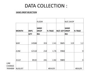
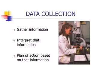
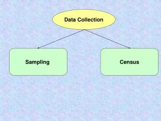
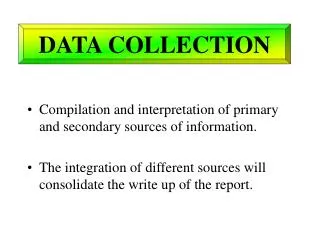
Data Collection • GIS is used to capture locations and structures around the country. • This is done by field workers going into the different regions of the country with GPS enabled PDA’s. • The captured data is then verified using two tools called Geomedia and ArcGIS. • The data is then stored in a GIS Database, after which a verified Dwelling Unit Frame is created. This is then followed by the demarcation of EA’s. • Once the Dwelling Frame is in place, a EA maps are produced. • EA maps ensure that the enumerators have more accurate information about structures and locations. This information is stored in a national GIS database called GSurveyNam. • Census Enumerators then capture data on paper.
Data Processing • The captured data is then scanned into a database using Optical Character Recognition software called Eyes & Hands. • Once the data is captured in a database, it goes through two verification processes before a final Census database is created. • The final census database is then integrated into a national database called NAMSTAT.
NAMSTAT • NAMSTAT acronym for NAMibia STATistics is a database that integrates Census and other survey data for Namibia. Namibia has two major surveys every five years and census every ten years: • + + = NAMSTAT Database Census Database NHIES Database NIDS Database
Methods of dissemination National Databases All statistics information is contained in the NAMSTAT database and all Namibian GIS data is contained in the GSurveyNAM database. These national databases are the two primary sources from which data is disseminated. The databases are created using Microsoft SQL Server 2008. NAMSTATDatabase GSurveyNAM Database
Web • Website created using open source technologies such as PHP & PostgresSql • Dynamic since it uses both the NAMSTAT and Geo-database to extract and display the latest GIS and statistics information. CBS Website NAMSTAT Database
Web…cont’d • Download page – economic,trade,demographic and shapefiles • RSS,Discussion Forum • Geo-portal for metadata exchange using Geonetworks. Geonetworks technology links users to location of datasets. Also allows for shapefiles to be donwloaded. • NamInfo Database will also be located on the website.
WebGIS • Uses MapGuideOpenSource and MapGuide Studio 2008 . • Enables users to produce a variety of maps using the available shapefiles. WebGIS is updated regularly by our regional offices thereby ensuring that our GIS maps are up to date.
WebGIS Regional Offices are equipped with tools such as Geomedia,SPSS and SuperCross to produce GIS maps and Census data on request.
End of Presentation Thank you for your attention