Download
1 / 12
130 likes | 331 Vues
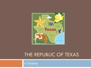
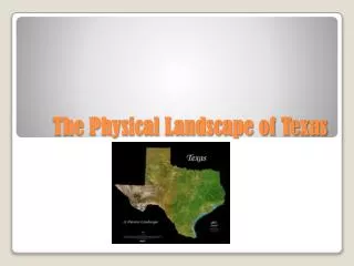
The Physical Landscape of Texas. The Caverns of Sonora are just one of the many natural treasures in Texas. Landforms of Texas. Texas is in the Northern Hemisphere (the northern half of the planet that lies between the North Pole and the Equator.

E N D
The Caverns of Sonora are just one of the many natural treasures in Texas. Landforms of Texas
Texas is in the Northern Hemisphere (the northern half of the planet that lies between the North Pole and the Equator. • It is also in the Western Hemisphere – half of the planet west of the Prime Meridian. • Texas is located in the southern part of the North American continent. Texas Landforms of Texas
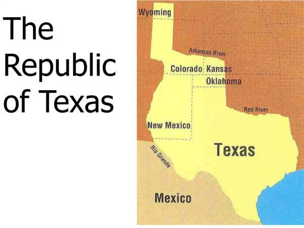
Texas: • Borders a large body of water called the Gulf of Mexico • It is located in the central and southern region of the United States • It is located : • Just north of Mexico • West of Louisiana • South of Oklahoma • East of New Mexico • Arkansas borders the northeast corner Landforms of Texas
The varied landscape of Texas includes canyons, islands, valleys and even extinct volcanoes. • The four major landforms in Texas are hills, mountains, plains, and plateaus. • Plains cover much of the Gulf Coast, the Panhandle, North Texas, South Texas, and West Texas. Landforms of Texas
Many of the Texas Plains are interrupted by hills. • The easternmost part of the state is covered by forests. • To the west lie gently rolling prairies, or treeless grasslands. • Central Texas has rugged hills, including those in the Hill Country. • West of the Hill Country lies the Edwards Plateau, which rises in elevation from west to east. East Texas Piney Woods Landforms of Texas Texas Hill Country
West of the Edwards Plateau, the landscape becomes rocky. • Several different mountain ranges rise west of the Pecos River. • The highest point in Texas is the Guadalupe Peak and is part of the Guadalupe mountain range. • Most of the state, however, is covered in plains. Edwards Plateau Guadalupe Peak Landforms of Texas
Texas has several water features, including the Gulf of Mexico , lakes, rivers, and streams. • Water from all the rivers and streams in Texas eventually flow into the Gulf of Mexico. • Texas has more than a dozen major rivers and 11,000 streams. • A number of rivers in the northern part of the State flow into the Mississippi River. The Texas River System
Each river has its own special characteristics. • The Rio Grande is by far the longest. • It begins as a snow-fed stream in Colorado. • It flows 1,896 miles through New Mexico down desert canyons and coastal lowlands of the Gulf of Mexico • For 1,245 miles, it forms the international boundary between The United States and Mexico. The Comal is the shortest River in Texas * rising from a spring, it flows for less than three miles The Rio Grande The Texas River Systems
Texas has few natural lakes. • Caddo Lake ,in northeast Texas , is the largest. • However, Texas has hundreds of lakes built by people. • Texans built dams along rivers to help control floods and to create reservoirs. • These artificial lakes store water that is used as drinking water for towns and cities, irrigation for farm land and for recreation. Caddo Lake Texas Lakes and Aquifers
Water is also found in the state’s aquifers. • Aquifers are formations of natural gravel, rock, and sand that trap and hold rainwater underground. • Refilling or recharging them with water is typically a slow process. • The Ogallala Aquifer is the largest underground water source in the state. • Almost 95% of the water pumped out of the aquifer is used for irrigation. Texas Lakes and Aquifers
Just to the south, the Edwards Aquifer provides water for San Antonio, and the rest of Central Texas. • The largest springs in Texas come from the Edwards Aquifer. • A spring is a natural outpouring of water from the underground. • These springs provide a place of recreation as well as a source of water. Texas Lakes and Aquifers