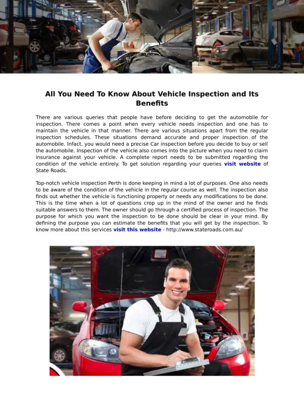
Roman Roads
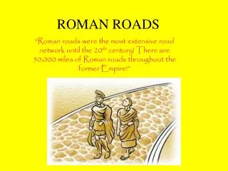
Roman Roads. the great network. At the peak of the Roman empire, there were an estimated 56,000 miles of roads. That is enough to wrap around the world at the equator- TWICE- with some left over circumference of the earth= 24,901.55 miles. Vitruvius.

Roman Roads
E N D
Presentation Transcript
the great network • At the peak of the Roman empire, there were an estimated 56,000 miles of roads. • That is enough to wrap around the world at the equator- TWICE- with some left over • circumference of the earth= 24,901.55 miles
Vitruvius • Vitruvius was a Roman architect and engineer • He wrote de architectura, the only surviving book on classical architecture. • Recorded the process for creating a road.
DaVinci’s Vitruvian Man Similarly, in the members of a temple there ought to be the greatest harmony in the symmetrical relations of the different parts to the general magnitude of the whole. Then again, in the human body the central point is naturally the navel. For if a man can be placed flat on his back, with his hands and feet extended, and a pair of compasses centered at his navel, the fingers and toes of his two hands and feet will touch the circumference of a circle described therefrom. And just as the human body yields a circular outline, so too a square figure may be found from it. For if we measure the distance from the soles of the feet to the top of the head, and then apply that measure to the outstretched arms, the breadth will be found to be the same as the height, as in the case of plane surfaces which are completely square.(Marcus Vitruvius, De Architectura, Book III, Chapter 1, p 3)
how they were made • Roads were built by military surveyors • The Romans built roads using the straightest possible route, i.e. a straight line. • To make the road straight, they used a tool called a groma
When the surveyors could not see their endpoint, they used smokefires to direct the line for the road. • Sometimes the roads had to be diverted for deep ravines or mountains, but other than that, the roads went STRAIGHT.
the steps • The line is chosen • A cut is made the width of the planned road (6-20ft) and dug up to 5 feet. • Large stones are placed at the bottom of the cut. • Next, a layer of small stones, concrete, or rubble is laid • A layer of rolled sand concrete is poured
the surface • The final step was to lay down the surface or pavimentum. This was usually large flat stones. • The pavimentum was curved with a bulge in the middle of the road. • A curbstone was placed along the edge to prevent erosion. • A ditch was often cut on either side of the road for drainage.
built to last Roman roads were built with such skill that they usually lasted 80-100 years before needing any improvements
the original purpose • To allow quick movement of troops and supplies all over the Roman empire. • Roads helped the Romans maintain control of the provinces.
the cursus publicus This was the Imperial post- the Roman government’s UPS
The mailman carried a diploma which ensured that he was on official government business. • With the diploma, he was entitled to fresh horses when he stopped at mutationes or post offices. • He was also able to stay at masiones or resthouses along the way. • A mailman could travel an average of 50 miles a day.
MAPS • An official world map was publicly displayed. • This was copied onto itineria or rolled maps for travelers by copyists. • The only surviving itinerium is the Tabula Peutingeriana, made in the 12th century from a 4th century copy of the Roman world map.
housing arrangements • Wealthy travelers would stay with friends, family, or acquaintances along the way. • Ordinary travelers would have to stay at roadside inns.
caupones • The caupones at these inns were often dishonest. • The inns were dirty, uncomfortable, and frequented by thieves, prostitutes, and drunks.
travel by barges • Could also travel up or down river by barge. • This meant being rowed or towed by men or mules. • Sometimes you might fall asleep on your journey and wake up not having gotten anywhere!
travel by sea • Travel by sea was popular, but more dangerous and subject to the weather and seasons. • Travel was only possible from March to November. • Travelers waited for passage on merchant ships.
superstitions • Winds must be favorable • Animal sacrifice made • Avoid unlucky days • Consult an auger