Hyperspectral Applications of Geostationary Satellite Data in Weather Forecasting
Learn how the Hyperspectral Environmental Suite/Sensor from the GOES-R system enhances severe weather forecasts through high-resolution monitoring of atmospheric moisture and wind profiles. Explore end-user perspectives on data collection and societal benefits of hyperspectral data integration.

Hyperspectral Applications of Geostationary Satellite Data in Weather Forecasting
E N D
Presentation Transcript
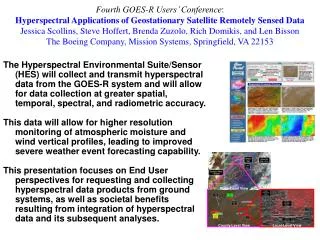
State-Level View County-Level View Local-Level View Fourth GOES-R Users’ Conference: Hyperspectral Applications of Geostationary Satellite Remotely Sensed DataJessica Scollins, Steve Hoffert, Brenda Zuzolo, Rich Domikis, and Len BissonThe Boeing Company, Mission Systems, Springfield, VA 22153 The Hyperspectral Environmental Suite/Sensor (HES) will collect and transmit hyperspectral data from the GOES-R system and will allow for data collection at greater spatial, temporal, spectral, and radiometric accuracy. This data will allow for higher resolution monitoring of atmospheric moisture and wind vertical profiles, leading to improved severe weather event forecasting capability. This presentation focuses on End User perspectives for requesting and collecting hyperspectral data products from ground systems, as well as societal benefits resulting from integration of hyperspectral data and its subsequent analyses.