Download
1 / 14
140 likes | 227 Vues
Observation plan in NE Asia. Jun Asanuma Terrestrial Environment Research Center Tsukuba University. RAISE ( R angelands A tmosphere-Hydrosphere-Biosphere I nteraction S tudy E xperiment in Northeastern Asia). Period: 2001/12-2006/11 (Obs. 2002-: IOP 2003) Objectives:

E N D
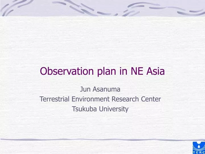
Observation plan in NE Asia Jun Asanuma Terrestrial Environment Research Center Tsukuba University
RAISE (Rangelands Atmosphere-Hydrosphere-Biosphere Interaction Study Experiment in Northeastern Asia) • Period: 2001/12-2006/11 (Obs. 2002-: IOP 2003) • Objectives: • Better understandings of the interaction between hydrosphere, atmosphere in the targeted region, and biosphere and human impact on it. • Target Area: upper Kherlen river basin
Observations; tower flux forest(larch forest) • Radiation, water/heat/carbon budget • year-round observations since 2003 • First EC flux measurements in the area fensed area in KBU grassland (KBU, semi-arid steppe)
2.広域地表面熱収支:混合層分散法 KBU 放射センサ 熱電対 Kherlen R. AN-2 KBU周辺航空機パス(2003/08/22) 湿度計 Aircraft ・実施期間:2003年7,8,10月(11回) ・飛行高度:地上200,500,1000m 地上観測サイト上空で高度別に往復 ・飛行パス長:約10km(5分) ・測定項目:気温,湿度,地表面放射温度 短波放射(上下),GPS位置情報 ・記録間隔:気象測定=0.1秒,GPS=2秒 ・データ前処理 温湿度:線形トレンド除去
Obs. by RAISE(2002-) Water/heat/carbon budget at the 2 tower sites GPS precipitable water ; 4 sites river discharge, ground water, isotope vegetation and soil characteristics will be published as DVD in 2007 Obs. by Inst. Met. & Hydro. (1993-RAISE period) surface stations will be available in 2007 through RAISE data base CEOP also has a plan for the data opening. Quality check will be involved. Data publications from/through RAISE
森林 草原 rain evapotranspiration Observed precipitation and evapotranspiration • E at forest is radiation-controlled • E at grassland is soil-moisture-controlled
森林 草原 Interannual variation of water budget E P E P • Larger amount of rain at the forest (upper basin) • significant recharge region of groundwater and river water • Evaporation at the forest follows rainfall • radiation-controlled evaporation • Evaporation at the grassland in almost contant • soil-moisture-controlled evaporation
Colored water analysis w/ RCM A B Mongolia (A)105-110E, 45-50N 2003.6.1 (B)110-115E-40-45N 2003.9.1 Sato et al. (in preparation)
ZM-NoC: 500hPaw ZM-NoC: w at 90 E B A B Tibetan Plateau A Mongolian Plateau [x0.1 m/sec] [x0.1 m/sec] Why it is dry? • ZM-NoC: equilibrium between ZM and radiation (non-adiabatic heating:radiation only, dry RCM) • Dry convection over Tibetan plateau and its slopes • Distinct ubsidence over the dry region at 300~700hPa
Hypothetical view In spring when the subtropical jet is located at the south of Tibetan Plateau ...: Subsidence over northen india. > delayed monsoon-onset Sato & Kimura (MWR, in revision) 5,6月 When the subtropical jet goes upto north....: Subsidence over north of Tibetan plateau (Takramakan, Govi). > suppressed rainfall in the warm season Sato & Kimura (2005, GRL) 7,8月
Future plan • RAISE • “snap-shot” view for 2-3 years of hydroclimatology of the region • post-RAISE • “interannual variability” of hydroclimatorolgy pRAISE
Research Targets • Rainfall process • w ULB radar data & rain gauge mesonet • Rainfall process • interannual variations, intra-annual variations • Interannual variation of Land-atmosphere interaction • vegetation variability and its feedback on the atmosphere • soil-moisture dynamics and its control on the landsurface process
Future plan (2007-2010) in pRAISE • Monitoring continued; • Kherlen river basin: • the 2 tower sites (CEOP reference sites) • river discharge, groundwater
Future plan (2007-2010) in pRAISE • ULB region (in cooperation with IORGC): • Radar data (near ULB airport), rain gauge mesonet (will be setup) • groundwater (in cooperation with IHP)


![Regional Report on Ozone Observation [ RA-II: Asia ]](https://cdn1.slideserve.com/2632383/slide1-dt.jpg)