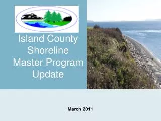
Island County SMP
110 likes | 238 Vues
On January 24, 2012, the Island County Planning Commission held a workshop presenting crucial data and issues from the shoreline inventory review. The workshop highlighted existing and proposed shoreline environment designations, existing land use classifications, and summaries of the shoreline analysis. Key topics included residential lots in shoreline jurisdictions, large landslide hazard areas, coastal bluffs, and the implications of dredged canals. This presentation aims to guide future zoning and development along Island County shorelines.

Island County SMP
E N D
Presentation Transcript
Island County SMP Planning Commission Workshop January 24, 2012
Presentation of Key Data and Issues from Shoreline Inventory Review Shoreline Environment Designations Maps Existing Proposed Shoreline Use Matrix Agenda
Existing land use classification (from Island County Assessor)
39 total • 34 partially within shoreline jurisdiction • 32% of all shoreline parcels in County RAIDs in Island County Shorelines
Shoreline Analysis Summary (Chp. 8) • Large landslide hazard areas • Fill at toe of coastal bluffs • Spits and barrier beaches • Dredged canals Inventory and Characterization—Summary Findings