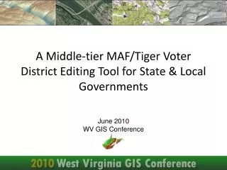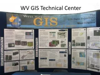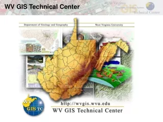
WV GIS Technical Center
80 likes | 111 Vues
WV GIS Technical Center. People. Dr. Harris. Technical Center Staff. Dr. Elmes. Digital Conversion. Hand drawn geologic features on USGS 1:24,000-scale topographic map. Geologic map digital conversion. Flood Hazard Mapping. National Register Project. ACCURACY IMPROVEMENT

WV GIS Technical Center
E N D
Presentation Transcript
People Dr. Harris Technical Center Staff Dr. Elmes
Digital Conversion Hand drawn geologic features on USGS 1:24,000-scale topographic map Geologic map digital conversion
National Register Project ACCURACY IMPROVEMENT 892 features total on 225 quads
Performance Measures – County GIS • People • High-Level Sponsor • County Mapping Advisory Committee • Adequate Staffing • Adequate Training • GIS Coordinator • Software / Hardware / Facilities • Essential Software and Hardware • Adequate Facilities People Hardware
Performance Measures – County GIS • Data • Base layers cataloged for entire county • Data producers cooperatively produce and share data • Data sharing and cost sharing agreements • Procedures • Digital mapping standards and publications reviewed • common unique identifiers standardized • GIS business plans and rules established Data Procedures