Download
1 / 17
170 likes | 332 Vues
Intro to Soils Chapter 3. Soil Surveys And Land Capability Classes. Soil Surveys. What is a soil survey? Soil surveys classify, locate on a base map, and describe soils as they appear in the field Most surveying is done by soil scientists of the NRCS. Soil Surveys.

E N D
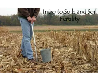
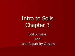
Intro to SoilsChapter 3 Soil Surveys And Land Capability Classes
Soil Surveys What is a soil survey? • Soil surveys classify, locate on a base map, and describe soils as they appear in the field • Most surveying is done by soil scientists of the NRCS
Soil Surveys • Field mapping is done by soil scientists who walk the land and: • Probe soil • Note slopes, erosion, other features • Draw series/phase on base map The base map is typically an aerial photo showing landscape features
Soil Surveys Mapping units establish boundaries for series Each series is identified by code: e.g. 15c – Crider Silt Loam, 5-9 percent slope Codes vary by state
Soil Surveys Mapping Units: Vary with size/scale of map National maps (e.g. Appendix 2) map soil orders Most county maps use phases of series
Soil Surveys Soil Associations Contain more than one series Consists of one or more major soils and one or more minor soils Series commonly appear in associations with certain other series
Soil Surveys Scale of surveys: Larger scale for larger area (less detail) County surveys typically: 1:12,000 to 1:36,000 St. Francois – 1:20,000
Soil Survey Reports Contain: Soil Maps Map Legends Description of Soils Use and Management Reports
Soil Survey Reports Who uses Soil Survey Reports? Planners Landscapers Farmers/Growers Home owners Engineers
Land Capability Classes Based on Soil Maps Indicates best sustainable use of land e.g. Flat land – heavy cropping, few limitations, minimal erosion, while . . . Sloping Land - may have serious limitations and must be managed carefully to avoid erosion
Land Capability Classes NRCS recognizes eight (8) land capability classes Classes are numbered by Roman numerals: I, II, III, IV, V, VI, VII, VIII - Class I soils have the fewest limitations - Class VIII soils are so limited they are unsuitable for agricultural use - Erosion/slope is main criterion but others are used
Land Capability Classes See text for complete descriptions but in simplified grouping . . . I – III: can be used for cultivated crops IV: marginal for cultivated crops; severe limitations V – VIII: not suitable for cropping
Land Capability Classes Suitable Uses for Capability Classes
Land Capability Subclasses All classes except Class I have limitations Subclasses indicate factors by using: single letter code added to class number e.g. IIIw – wetness Land could be drained for farming, but better use may be to conserve it as wetlands
Land Capability Subclasses Single letter coding system: e – runoff and erosion w – wetness s – root zone or tillage problems c – climatic hazard
Soil Use (interpretive) Maps Replace soil series identifications with . . . Land Capability (use) Classes that show suitability for agricultural use See Appendix 4 for criteria in judging soils usage
Land Capability of U.S. Soils Approximately 43% of U.S. soil is rated in Classes I to III Most of the rest is suitable for some commercial production like grazing or woodlands