Understanding Oceans, Continents, and Map Types: A Comprehensive Overview
This informative guide explores various map types, their significance, and the geographical features they represent. It delves into political, physical, topographic, climate, economic, road, and thematic maps, explaining how each type conveys different data about our world. Additionally, it covers the essential concepts of latitude and longitude and highlights the major oceans and continents, such as the Pacific Ocean and North America, the Atlantic Ocean and South America, and more. This resource is perfect for geography enthusiasts and students alike.

Understanding Oceans, Continents, and Map Types: A Comprehensive Overview
E N D
Presentation Transcript
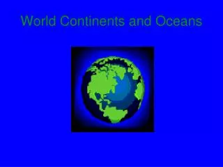
Oceans, Continents, and Maps October 31, 2013 By: Kiara Mohamed
Map Types • Political Map - state and national boundaries; also includes the locations of cities. • Physical Map – shows mountains, rivers, and lakes ; also shows different colors to show elevation. • Topographic Map – has contour lines instead of colors to show landscape.
Map Types • Climate Map – shows weather of an area and climate zones • Economic or Resource-specific type of natural resources in an area • Road Map- shows major and miner highways and roads • Thematic Map- focuses on a special topic or special theme
Latitude and longitude • Latitude – lines that run East to West • Longitude – lines that run North to South
scale • SCALE - The distance from one point to another point
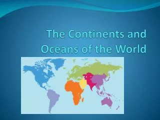
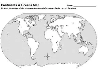
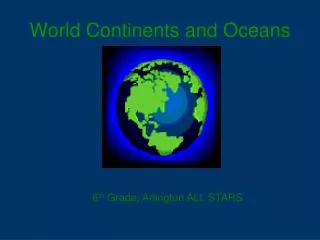
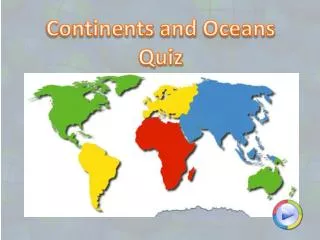
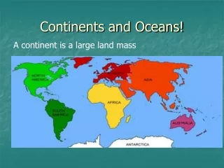
Oceans and continents • * The Pacific Ocean - North America • *The Atlantic Ocean - South America • *The Indian Ocean - Antarctica • *The Arctic Ocean - Europe • - Africa • - Asia • - Australia