Count Us!
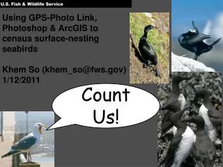
Using GPS-Photo Link, Photoshop & ArcGIS to census surface-nesting seabirds Khem So (khem_so@fws.gov) 1/12/2011. Count Us!. The old way of doing things…. Our workflow. Overview. Photograph colonies using 2 DSLRs. Geotag photos using GPS-Photo Link. Shawn Stephensen/USFWS.

Count Us!
E N D
Presentation Transcript
Using GPS-Photo Link, Photoshop & ArcGIS to census surface-nesting seabirds Khem So (khem_so@fws.gov) 1/12/2011 Count Us!
Our workflow Overview Photograph colonies using 2 DSLRs Geotag photos using GPS-Photo Link Shawn Stephensen/USFWS Catalog photos by colony number Detail Photomerge photos using Photoshop Count seabirds in ArcMap David Ledig/USFWS
Our workflow Photograph colonies using 2 DSLRs Geotag photos using GPS-Photo Link Catalog photos by colony number Photomerge photos using Photoshop Count seabirds in ArcMap
Our workflow Photograph colonies using 2 DSLRs Geotag photos using GPS-Photo Link Catalog photos by colony number Photomerge photos using Photoshop Count seabirds in ArcMap
Our workflow Photograph colonies using 2 DSLRs Geotag photos using GPS-Photo Link Catalog photos by colony number Photomerge photos using Photoshop Count seabirds in ArcMap
Our workflow Photograph colonies using 2 DSLRs Geotag photos using GPS-Photo Link Catalog photos by colony number Photomerge photos using Photoshop Count seabirds in ArcMap
Our workflow Photograph colonies using 2 DSLRs Geotag photos using GPS-Photo Link Catalog photos by colony number Photomerge photos using Photoshop • Timestamped FC • Domains Count seabirds in ArcMap
Our workflow Photograph colonies using 2 DSLRs Geotag photos using GPS-Photo Link Catalog photos by colony number Photomerge photos using Photoshop Count seabirds in ArcMap
Final Thoughts • GPS-Photo Link provides a flexible geotagging option • The automated Photomerge process in Photoshop works well with oblique aerial photography • Thanks to Roy Lowe, Shawn Stephensen, David Ledig, & Amanda Gladics for the photos & screenshots!