Download
1 / 13
130 likes | 192 Vues
Learn how Ecotrust uses GIS and the OCEAN model to analyze socioeconomic data, mining existing information to manage marine resources effectively. Discover their methods, applications in the groundfish crisis, and habitat protection strategies for deep-sea corals.

E N D
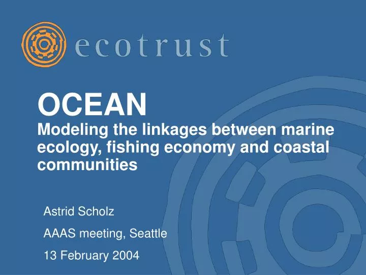
OCEAN Modeling the linkages between marine ecology, fishing economy and coastal communities Astrid Scholz AAAS meeting, Seattle 13 February 2004
Introduction • Ecotrust is a non-profit think tank and community development organization; • Working to build Salmon Nation—where economy, ecology, and equity are in balance; • Sector programs in Fisheries, Food & Farm, First Nations, Forestry; • In-house GIS department and research; • Collaborate with federal and state agencies, universities, industry, tribes & NGOs.
Outline • Using GIS for socioeconomic analysis; • OCEAN model for mining existing data • Linking areas of the ocean to communities on land; • Applications to marine management issues: • Groundfish crisis; • Area-based management (marine protected areas); • Habitat protection (deep sea corals).
Methods – Mining existing data • Multiple data sources: • State and federal logbooks and landing records; • NOAA trawl surveys (species distributions); • NOAA, USGS, universities: bathymetry, habitat classification and oceanographic data; • 1990 and 2000 census (community profiles); • Regional economic model (income multipliers); • Literature, interviews, observation (business, port and community profiles). • Combine in large, relational database.
Methods – “Forensic” GIS • Many data sets are not georeferenced; • Example: no comprehensive VMS or observer coverage on the West Coast – where vessels fish matters for habitat impacts; • ArcINFO model - Successive constraints imposed on landing records: • Fish distribution information derived from NMFS trawl surveys; • Habitat constraints – e.g., untrawlable areas; • Gear-depth associations; and • Expert testimonials on distance that vessels travel from landing ports.
Application –Groundfish crisis • Group of 80+ flat, round and rockfish; • Fishery prosecuted with trawl and fixed gear; • Several species of rockfish overfished – triggers rebuilding measures; • Example: shelf closures that effectively establish no-trawl zones (since 2002); • Estimated effects of this closure: • Different effects on different parts of coast – some communities do better than others under this management regime; • Use OCEAN to assess if the closures are working.
Application – Habitat protection • Fishing gear impacts sensitive marine habitats, including deep sea corals; • Majority of coral species live in cold, dark depths; • Widely distributed along the West Coast, especially along the shelf break; • Increasing concerns about interaction with fisheries, e.g., central CA marine sanctuaries.
Acknowledgements Co-authors Mike Mertens, Charles Steinback and rest of GFR team; Funding from NOAA Fisheries NWR, David and Lucille Packard Foundation, Homeland Foundation, NOAA NOS.