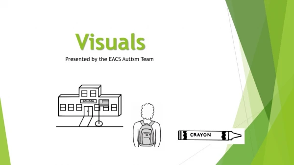
FARR Application Maps and Visuals for Acquisition Projects
100 likes | 193 Vues
Enhance your grant application with detailed maps and visuals for acquisition projects. Follow the instructions to attach the file to your application to showcase project details effectively.

FARR Application Maps and Visuals for Acquisition Projects
E N D
Presentation Transcript
FARR Application Maps and Visualsfor Acquisition Projects You must edit and attach this PowerPoint file to your grant application via the “Attachments” section of the PRISM On-Line Application Wizard. To complete this requirement, view all the slides in this file and follow the instructionscontained in the notes panel (below) on each slide. Each slide has unique instructions. Do not delete or add slides. When attached via the PRISM On-Line Application Wizard, this file must have 10 total slides.
Identify Grant Application Applicant Organization: Project Name: Project Number:
Regional Location Map Renton Fish & Game Club
Visuals (1 of 2) Northern Slope Property Outside City Limits New Range Property
Visuals (2 of 2) SR 18 ROW (Future Range on Left) Future Trap Range Site
Congratulations! • You have completed the FARR Application Maps and Visuals attachment PowerPoint!