Download
1 / 8
80 likes | 250 Vues
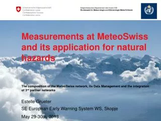
WIGOS at MeteoSwiss. Alex Rubli with acknowledgements to Estelle Grüter RAVI– Regional Conference, Helsinki September 11th, 2013. Introduction. During the last decade MeteoSwiss has set main priorities on topics being part of the vision of WIGOS such as: Data governance and management

E N D
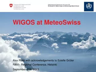
WIGOS atMeteoSwiss Alex Rubli withacknowledgementsto Estelle Grüter RAVI– Regional Conference, Helsinki September 11th, 2013
Introduction During the last decade MeteoSwiss has set main priorities on topics being part of the vision of WIGOS such as: • Data governance and management • Implementation of a central, integrated data platform for the collection, storage and processing of meteorological data and its metadata ( MeteoSwiss Data Warehouse) • Coordination of WMO observing systems with those of partner organizations • Integration of internal and 3rd party networks & certification procedure • Evolving observing requirements of members • Implementation of RRR process at MeteoSwiss (in process)
Collaboration with WMO and co-sponsored observing systems It’s part of MeteoSwiss’ strategy to provide flexible, cost-effective and certified solutions for the optimal temporal and spatial coverage of atmospheric observations in Switzerland, using MeteoSwiss and 3rd party networks, in cooperation with internal and external partners.
Integration of partner stations • In 2005 Integration of 3rd Partner stations into MeteoSwiss Data Warehouse starts since 2012 in a systematic approach • Includes stations from other federal (research) institutes, cantons, private partners as well as from other countries • Goals: - Increase of density in a cost-effective manner - Get representative measurements in all warning regions ( gap filling) onlyMeteoSwissstations + 3rd partnerstations
Integrated Observing System operation and maintenance • Risk while integrating data from partner stations unknown data quality • To make sure that observing system owners are operating and maintaining their systems in complying to regulations of WMO elaboration of a certification procedure
Form for certification and impres-sions of station visits Evaluation of sites are carried out by Swiss Institute of Metrology ( external partner)
Integration of partner stations Forms of partenariats Forms of partenariats: • MeteoSwiss as partner station provider and maintainer: Construction, management and maintenance of partner stations the partner only wants the data but no responsability for maintaining the network • Sites are chosen and realized following WMO Guidelines and manuals • quality control mechanisms are based on WMO guidelines • MeteoSwiss as data hostIntegration and hosting of partner data inclusive QC • quality control mechanisms based on WMO guidelines and regulations. • MeteoSwiss as data deliverer and data userIntegration for delivery to the Swiss common platform for natural hazards and/or to ameliorate our products. • Only data integration => Problem unknown data quality!
Conclusion In Switzerland a lot of data is gathered by different authorities, institutions as well as private companies Capitalize on the ability to integrate data into central, integrated data platform for the collection, storage and processing of meteorological data and its metadata Make use of data from partners in order to increase temporal and spatial resolution of data coverage in a cost-effective way.