SlideServe
Menu
Préférences
© SlideServe · v2026

International Ice Charting Working Group Reykjavik 3-5 October 2000

maida avatar
4 diapositives · 130 Views · Jan 18, 2014

Ice and Image Analysis Training at the Danish Meteorological Institute Keld Q. Hansen Ice Charting and Remote Sensing Division Danish Meteorological Institute. International Ice Charting Working Group Reykjavik 3-5 October 2000.
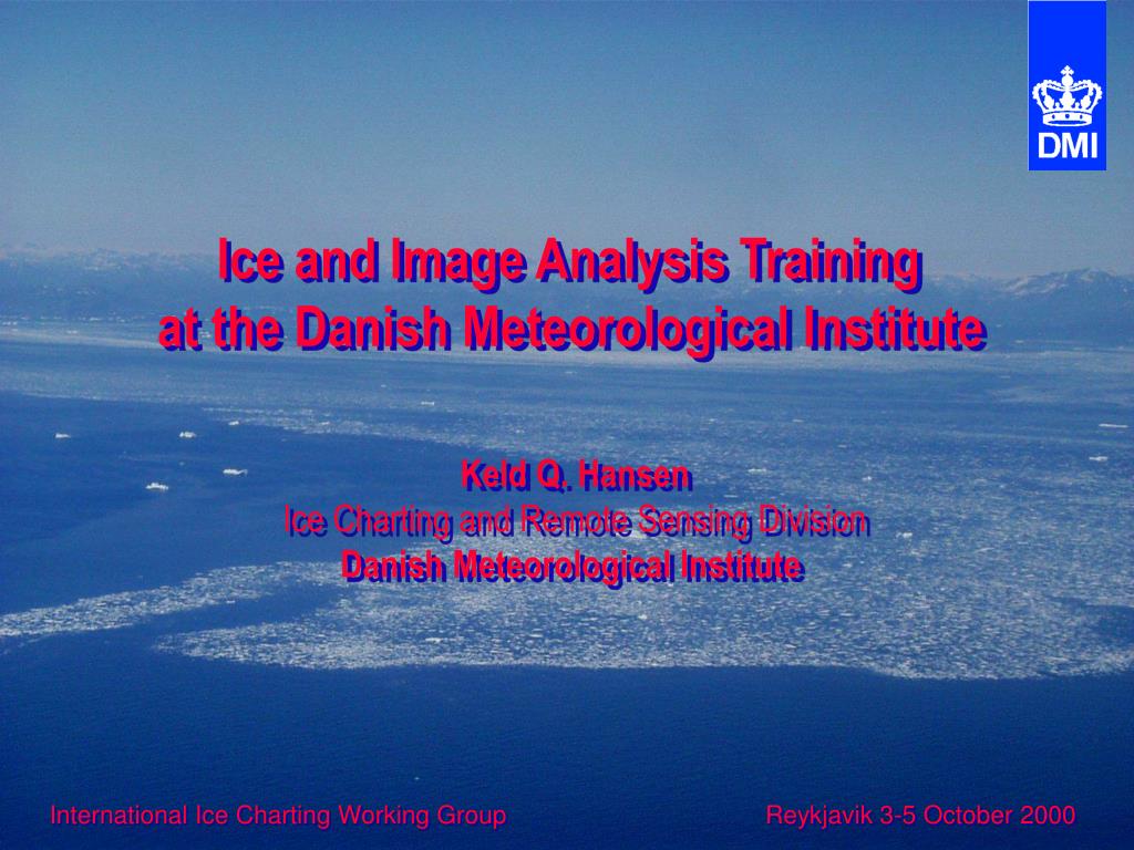
International Ice Charting Working Group 		 Reykjavik 3-5 October 2000 - slide 1
01 / 4International Ice Charting Working Group Reykjavik 3-5 October 2000
1 / 17

Télécharger la présentation

International Ice Charting Working Group Reykjavik 3-5 October 2000
Une image / un lien ci-dessous est fourni (tel quel) pour télécharger la présentation

Politique de téléchargement : le contenu du site vous est fourni TEL QUEL pour votre information et votre usage personnel ; il ne peut être vendu, concédé sous licence ni partagé sur d’autres sites sans l’accord de son auteur.Le contenu vous est fourni TEL QUEL, pour votre information et votre usage personnel uniquement. Téléchargez la présentation en cliquant sur ce lien. Lors du téléchargement, si vous ne parvenez pas à télécharger une présentation, l’éditeur a peut-être supprimé le fichier de son serveur.Pendant le téléchargement, si vous ne parvenez pas à obtenir une présentation, le fichier a peut-être été supprimé par l’éditeur.

F I N

Plus de contenu associé

Transcription de la présentation
  1. Ice and Image Analysis Training at the Danish Meteorological Institute Keld Q. Hansen Ice Charting and Remote Sensing Division Danish Meteorological Institute International Ice Charting Working Group Reykjavik 3-5 October 2000

  2. Ice Analysis staff, Satellite Branch: 1 chief (full time) [certified] 1 navigator (full time, February-July) [certified] 3 image analysts (part time) [certified] 3 image analysis trainees [part time] International Ice Charting Working Group Reykjavik 3-5 October 2000

  3. Ice and Image Analysis Training Program 1) Introduction to sea ice mapping (4 weeks) - Introduction to remote sensing, use and limitations of satellite data - ICE TUTOR [Canadian Ice Service] - SIKU Ice charting system - Physical characteristics of sea ice and icebergs near Greenland - Ice charts and presentations of ice information - Follow production of operational satellite based products (charts and piloting) - Procedures and trouble shooting 2) Image analysis training (expected 3 months) - Primarily Cape Farewell scenes, - Radarsat scenes from various seasons - Quality check, validation and discussion of trainee’s ice charts 3) Operational analysis of NRT satellite data (expected 4 months) - Trainee takes part in the operational production of ice charts, but never alone. - All products worked out by the trainee is quality checked and, if necessary, discussed or corrected, before publishing. International Ice Charting Working Group Reykjavik 3-5 October 2000

  4. The Future - Prepare training materials, lecture notes - Training materials on CDROM or WWW - Training on board RAL-ships - Cooperation between operational ice centers - Course initiated by Radarsat International ? Problem: Training is time consuming !!! International Ice Charting Working Group Reykjavik 3-5 October 2000