Download
1 / 21
210 likes | 234 Vues
Discover the UK's water activities in EO and climate research, supported by the UK Space Agency and International Partnership Programme. Explore projects like the Drought and Flood Mitigation Service and the Earth Observation-enabled decision support efforts. Get involved in the UK's initiatives for water resilience and climate change research.

E N D
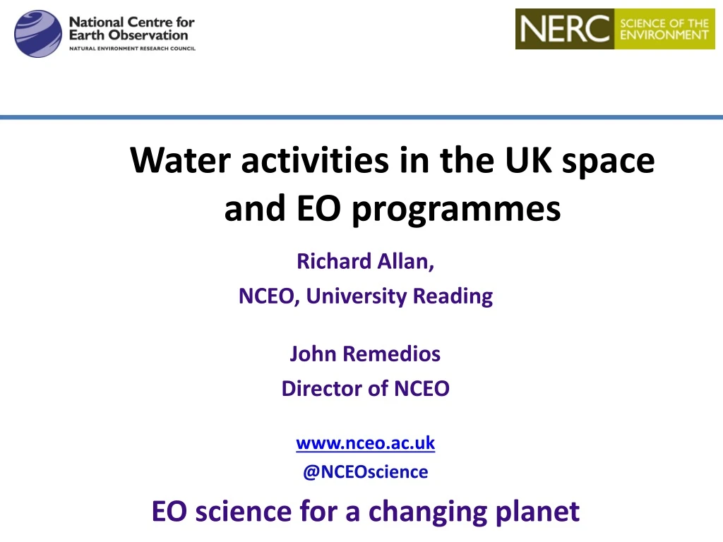
Water activities in the UK space and EO programmes Richard Allan, NCEO, University Reading John Remedios Director of NCEO www.nceo.ac.uk @NCEOscience EO science for a changing planet
Brief insight into UK EO • UK Space Agency is responsible for: • UK-supported EO missions mainly through European entities but also bilateral and public-supported commercial missions • Joint academic-industrial programmes in EO technology • The International Partnerships Programme (IPP) which is an ODA-based funding activity supporting also UK EO growth aspirations. • NERC/UKRI national capability programmes • NCEO • Other NERC Centres e.g. CEH There is also funding of HEIs through grants etc.
UK R&D ACCESS TO SPACE INFRASTRUCTURE OPERATIONAL SATELLITES Copernicus Sentinels 80+ million euros per year RESEARCH SATELLITES ESA EOEP 50 million euros/year: Cryosat, Earthcare, Biomass RESEARCH SATELLITES Bilaterals, Science teams (CNES,NASA…) Small millions of euros/year Microcarb, SWOT OPERATIONAL SATELITES METOP 50 million euros/year
International Partnership Programme (IPP) • IPP: £152 million (approx £30 million p.a.) • 5 years • The aim of IPP is to address real issues faced by emerging economies, by running projects which deliver tangible and lasting impacts on the ground using satellite solutions • Projects led by the best of the UK’s world class research and innovation sector • 2 projects on Flooding • EO enabled decision support for Flood & Drought Resilience (Airbus) • Ethiopia - building resilience to water-related hazards • Kenya - EO data for micro-insurance • Drought and Flood Mitigation Service in Uganda (Rhea)
Earth Observation-enabled decision support for flood and drought resilience Project Lead: Airbus Project Location: Ethiopia & Kenya In Kenya: Using EO data for the micro-insurance market and government Institutions. In Ethiopia: Building an improved understanding of flood and drought hazards and risks to help build social and economic resilience to water-related hazards. Supported by a flexible dashboard with tailored information to assist decision-making related to flood and drought. International Partnership Programme For more information contact: IPP@ukspaceagency.bis.gsi.gov.uk
Drought and Flood Mitigation Service (DFMS) Project Lead: Rhea Project Location: Uganda Satellite and ground-based data, combined with drought and flood models, to help people respond to effects on agriculture. Information distributed by national and local government, by commercial operators to farmers, and others, such as NGOs. Through better forecasts, local people can improve their lives and better protect key assets such as livestock and crops. International Partnership Programme For more information contact: IPP@ukspaceagency.bis.gsi.gov.uk
UK water cycle activities in EO and climate • The UK is active in rainfall observing systems • Climate records (SSMI(S)/GPCP, TRMM GPM) • MSG, TAMSAT for Africa (rainfall monitoring, building resilience) • Envisat/Sentinel-3 and now Sentinel-2 (water quality) • Sentinel-1 to Cosmo-Skymed/NovaSAR SAR (flooding) • ESA CCI missions e.g. ASCAT active; AMSR-E passive, LST sensors, cfGlobTemperature (soil moisture/climate) • Climate change-related water cycle research is a major topic for UK EO science programmes • Observations of water cycle change [NCEO] • Evaluating climate models: dry spells (drought) [NCEO, CEH] • Ice/snow changes [CPOM]
Rainfall monitoring for decision support, forecasting & climate Dunning et al. 2017 ERL • Method to identify onset/cessation of wet season using daily data • Exploit www.tamsat.org daily rainfall to investigate impact ofSST bias& deficient SST/rainfall relationship • Extending method to agricultural decision support & operational forecasting (Rainwatch/TAMSAT-ALERT) SST seasonal cycle CMIP5 OBS/AMIP
Relative warming rates • Relative warming rates observed during dry spells using satellite data • Used to verify climate models but can inform better dry spell characterisaton for droughts.
Improved land surface: Data Assimilation • Land surface behaviour in models is relatively sensitive to poorly observed parameters and to uncertain process dynamics. • Data assimilation potentially provides better constrained land surface model data as for weather forecasting, e.g. • for convective-driven processes • soil moisture representation • Advances in DA for land could improve both “nowcasting” and prediction skill.
MoDElDOWNscaling for SOIL MOISTURE • In semi-arid Sahel LST surface SM and fluxes are closely linked • Downscale JULES simulations from 0.5° to 3 km by assimilating SEVIRI LST • Results provide initial/boundary conditions for atmospheric simulations
Rainfall/soil moisture role in JULES simulationsusing ESA CCI & TAMSAT Default JULES soil ancillaries Pinnington, E., Quaife, T., and Black, E.: Using satellite observations of precipitation and soil moisture to constrain the water budget of a land surface model, Hydrol. Earth Syst. Sci. Discuss., https://doi.org/10.5194/hess-2017-705 New JULES soil ancillaries Pinnington et al. (2017) HESS - Ghana - Getting precipitation right is crucial for the start of season wetting-up - Representing soil moisture determines the end of season dry-down
Water quality in lakes Haze/cloud leads to overestimation of Chl-a • The UK has undertaken research on water quality in lakes which is now feeding into Copernicus services: • PML • Stirling University • King’s College, London E. Tebbs KCL
Summary • UK Space Agency supports EO missions and is actively encouraging EO missions relevant to water cycle, e.g. flooding, soil moisture, clouds and convection, LST • It also supports EO applications and services • NERC provides UK research money to exploit EO missions for environmental science. Key interests are precipitation and flooding, climate and water cycle, data assimilation to improve land surface model skill • A foundation is the money NERC provides to support national capability in these areas, particularly at NCEO but also other NERC centres
Missions: UK water cycle interests • Precipitation: GPM/TRMM, MSG (convective) • Soil moisture/LST. Climate change based. • ESA CCI missions e.g. ASCAT active; AMSR-E passive • The constellation of LST sensors, cfGlobTemperature: http://data.globtemperature.info/ • Water quality: Envisat/Sentinel-3 and now Sentinel-2
Climate monitoring AMIP5 ERAINT Water Vapour anomaly (%) ? Precip anomaly (%) Allan et al. (2014) Surv. Geophys
Precipitation extremes • Possible “emergent constraints” from water cycle variability on future projections • Evaluate model climate model projections 99th% heavy light Allan et al. (2014) Surv. Geophys
Moisture transport & Extreme Rainfall • Moisture transport linked with flooding e.g. Atmospheric Rivers • Promising applications in forecasting and climate prediction • Satellite-based constraints on energy/moisture fluxes active research area (e.g. ECMWF/ Univ. Reading) • Energy transport metrics can also be explored (e.g. role in drought/heatwave). Lavers et al. (2014) Nature Comms Lavers et al. (2011) GRL; Lavers et al. (2013) ERL
Key features: • Standard variational DA (using non-gradient based descent) • Compares TAMSAT v2 and v3 • Assimilates ESA CCI soil moisture data • Target variables are JULES soil parameters
Data Portal for LST http://data.globtemperature.info/