Information Management
Information Management. Jornada Basin LTER. Jornada Information management system. Six major components: Data management implementation/process Management of data, spatial maps, and imagery, and associated metadata F ormal data management protocols

Information Management
E N D
Presentation Transcript
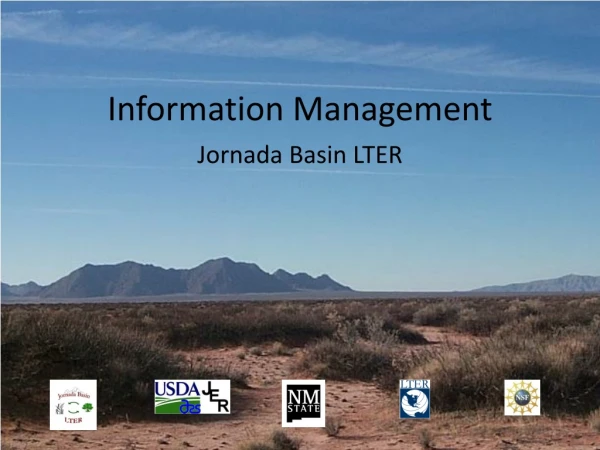
Information Management Jornada Basin LTER
Jornada Information management system Six major components: • Data management implementation/process • Management of data, spatial maps, and imagery, and associated metadata • Formal data management protocols • Tools and resources dedicated to harvest, document, archive, manage, access, analyze, and download data and metadata • Networking and computing services • Support staff
Information Management • IM provides protocols and services for data collection, verification, organization, archive, and distribution • Researchers provide detailed metadata describing the research project and its related datasets to insure long-term usefulness of data and products.
Data Protocols and Metadata Standards • Procedures are conducted in accordance with recommendations and guidelines developed by the LTER Network Information Managers Committee. • Data access, acknowledgement, and data management policies, which are compliant with those developed by the LTER IMC, can be found at: http://jornada.nmsu.edu/lter/data/policies • Compliant EML(machine readable metadata) is produced for each dataset. Datasets with full metadata are automatically harvested into the LTER Network Data Portal (PASTA).
Website • Options for users to access, query, and review the datasets online before deciding to download. • Datasets are delivered to users as downloadable dataset packages or standalone files from the data catalogs through web queries. • The dataset package includes metadata files, data files, and a shapefile (spatial representation of dataset location) if available. • We will continue to add data accessibility and analytical tool capabilities as they are made available from our collaborative projects (e.g., EcoTrends, Landscape Toolbox, “Knowledge, Learning, Analysis System”). All long-term JRN LTER datasets are available online at http://jornada.nmsu.edu/lter/data. A listing is available at http://jornada.nmsu.edu/lter/data/long-term.
Website - DEIMS • The website is an implementation of the Drupal Environmental Information Management System (DEIMS). • This has been adopted by other LTER and ILTER sites (ARC, LUQ, NTL, NWT, PIE, SEV, VCR, European Union, Taiwan) as a common approach to making data available according to LTER best practices. • Integrates metadata, data, personnel information, publications, research proposals, reports, etc., about the Jornada and its research activities and collaborations.
Geoportal – data access • Pilot status • Supports spatial enabled searching • searching by keywords and/or spatially within a map bounding box for research data or studies • automatically e-mails the files to the user as a zip file.
300 mesquite black grama 200 NPP (g/m2) 100 0 0 5 10 15 20 species richness 300 mesquite black grama 200 NPP (g/m2) 100 0 1990 1992 1994 1996 1998 2000 2002 2004 2006 year Our Future Sampling Locations G S n Site … Site A Jornada Time 1858 … 2009 … t spatial data Relational Databases Text Files temporal data/metadata elev veg temp PPT cover rich NPP type ness EML metadata Populate databases with research data Produce project and dataset documentation for GIS data from existing metadata in GIS Associate research site locations (RSL) to data set and project ID numbers in JIMS and import RSL shapefiles into geodatabase Create attribute level EML from databases for: - research data - GIS data - remote sensing data Develop visualization, mapping, animation, and analytical tools visualization & analytical tools NPP map EcoTrends JIMS mapping tools
Information Management Jornada Basin LTER