Download
1 / 27
270 likes | 276 Vues
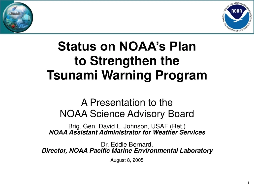
Status on NOAA’s Plan to Strengthen the Tsunami Warning Program A Presentation to the NOAA Science Advisory Board. Brig. Gen. David L. Johnson, USAF (Ret.) NOAA Assistant Administrator for Weather Services Dr. Eddie Bernard, Director, NOAA Pacific Marine Environmental Laboratory

E N D
Status on NOAA’s Plan to Strengthen the Tsunami Warning ProgramA Presentation to the NOAA Science Advisory Board Brig. Gen. David L. Johnson, USAF (Ret.)NOAA Assistant Administrator for Weather Services Dr. Eddie Bernard, Director, NOAA Pacific Marine Environmental Laboratory August 8, 2005
Outline • Purpose • Issues • Presentation of Briefing
Purpose • Present a status report on NOAA’s plan to strengthen the U.S. Tsunami Warning Program, discuss research within NOAA, and receive SAB feedback
Issues • Legislation • Maintain NOAA’s leadership role in tsunami research • Tsunami science • Technology development • Modeling • Field improved tsunami warning system • International and regional networks • GEOSS system of systems
NOAA Tsunami Mitigation Program Update NOAA-wide program – All line offices involved! • Upgrade and expand DART network • 39 DART II stations • 32 new Pacific stations (6 DART stations to be upgraded) • 7 new Atlantic stations
NOAA Tsunami Mitigation Program Update NOAA-wide program – All line offices involved! • Expand and upgrade Water Level Monitoring Network • Real time sensing • Broaden coverage • Upgrade 33 existing in Pacific • 10 new Pacific stations • 6 new Caribbean stations • Strengthen NWLON (National Water Level Observing Network) contribution to Integrated Ocean Observing System
La Push, WA Westport, WA Elfin Cove, AK Garibaldi, OR Port Alexander, AK Akhiok, AK (or Old Harbor, AK) King Cove, AK Atka, AK Nikolski, AK Santa Barbara, CA St. John Aguadilla Pier Culebra Mona Island Vieques, Esperanza St.Croix NOAA’s 49 National Water Level Observation Network Tsunami Tide Stations Existing Stations with Tsunami capability (25) Planned New Stations with Tsunami capability (14) Upgraded Stations with Tsunami capability (8) ALASKA Installed New Stations with Tsunami capability (2) Neah Bay, WA Cordova, AK Yakutat, AK Seward, AK Toke Point, WA Sitka, AK South Beach, OR Kodiak, AK WEST COAST Charleston, OR Sand Point, AK Unalaska, AK Port Orford, OR Adak, AK Crescent City,CA Nawiliwili, HI North Spit,CA Mokuoloe, HI HAWAII Kahului, HI Honolulu, HI Arena Cove, CA Hilo, HI Kawaihae, HI Point Reyes,CA Monterey, CA Midway PUERTO RICO & Port San Luis, CA VIRGIN ISLANDS Wake Island PACIFIC ISLANDS Guam Santa Monica, CA Kwajalein Los Angeles, CA La Jolla, CA June 2005 Pago Pago
NOAA Tsunami Mitigation Program Update NOAA-wide program – All line offices involved! • Expand and upgrade seismic network • Broadband sensors • Strong motion sensors
NOAA Tsunami Mitigation Program Update • Inundation modeling, mapping, and forecasting • Develop 74 inundation forecast models by end of 2009)
NOAA Tsunami Mitigation Program Update NOAA-wide program – All line offices involved! • Tsunami Warning Center Operations—PTWC and WC/ATWC • Expand operations to 24x7 • Facilities • Expand facilities at PTWC and National Data Buoy Center
NOAA Tsunami Mitigation Program Update NOAA-wide program – All line offices involved! • TsunamiReady • Incentivize communities at risk to participate in the TsunamiReady program (tsunami resilient) • Identify and assist at-risk coastal communities • Tsunami Data Long Term Archive • Design, create, populate, and maintain DART and Tide Gauge Long Term Archive
Research UpdateDr. Eddie Bernard,Director, NOAA PMEL • “Developing Tsunami-Resilient Communities” published • DART network siting workshop held • Progress on transferring forecast models and DART II to operations • Future Research (Tour of PMEL) • Tsunami Research Review
DART Siting Workshop • Main concern: early detection • Adjustments to far field sites ( Southern Ocean) and near field sites (US west coast) • Identified a process for siting in the Caribbean • Identified sites for September deployment in Alaska
Transfer Research to Operations • DART II transfer begins in September • Web version of tsunami forecast model successfully used for June 14, 2005, warning at Crescent City, California • Installation of hardware and training for warning personnel will begin in February, 2006
Future Research to Operations • Easy to deploy DART II • Tsunami Forecast Modeling 1. Real-time forecasts 2. Inundation Scenario Studies 3. Assimilate with other NOAA ocean modeling activities Further discussions at PMEL on Wednesday
Tsunami Research Review • Called for in National Science and Technology Council’s joint report of the Subcommittee on Disaster Reduction and the US group on Earth Observations “Tsunami Risk Reduction” • Identified in House and Senate versions of the Tsunami Preparedness Act to be conducted by NAS
NOAA Coordination & Views • Coordination with • NOAA Leadership, AAs, NEC • What has NOAA done to address this issue? • Established NOAA-wide Tsunami program with five key capabilities: • Assessment • Warning system • Mitigation • Research • International coordination • What are NOAA’s views on the subject? • Strong coordination necessary for success. • Requires multiple line office and multiple agency execution through an end-to-end process.
Desired Outcomes • Be informed of: • NOAA’s leadership role in tsunami research • Requirements of fielding improved tsunami warning system • SAB ideas on tsunami research review
End-To-End All Hazards Forecast and Warning Regional and National Centers Public Understanding Public and Community Action Decision Support Data Communication Forecast Notification Evacuation, Shelter, Supplies, Review Plans Collect Data Process and Analyze Data Outlook / Forecast: Tsunamis, Typhoons, Floods, Droughts, Public Health, Temperature Extreme, Winter Storms, Tornadoes, Space Weather, Fire Weather, Rip Currents, Climate Prediction, Soil Moisture Advisory, Watch, Warning, Bulletins, Emergency Manager Training, Media Training Multiple Redundant, Reliable, Comms. Community Education, Risk Assessment, Community Action Plans, Personal Action Plans Integrated All-Hazard Forecasting, Warning and Response With Tsunami Warning System
Tsunami Program Matrix Line Office Execution NWS OAR NOS NESDIS NMAO Tsunami Hazard Assessment Vulnerability Assessment, Inundation Forecast Modeling & Mapping Applications, Risk Assessment and Planning Warning Guidance Seismic Network O&M NWLON O&M Data Archiving: NGDC Fleet Services DART System O&M, and Transition from Research to Applications Weather & Water Goal Warning Center Operation: PTWC, WC/ATWC Mitigation National Hazard Mitigation Program NOAA/State Partnerships TsunamiReady Tsunami Science, Inundation Modeling & Mapping, Sensor Development Research Regional and Global Warning System Development and Capacity Building Intergovernmental and Global Framework: IOC, WMO, ISDR, GEO Post-tsunami assessments; technology development and data/information exchange Interagency Partnerships: USAID, USGS, USTDA, USF, FEMA International Coordination
Operating Capability Overview • Initial Operating Capability (IOC) • The WC/ATWC and PTWC staffed 24x7. • 100% of Tsunami threatened communities identified and contacted. • Forecast models and mapping completed for 6 high risk areas with 6 additional areas underway. • 6 additional DART II stations (supplementing the original 6 DART I stations) deployed in the Pacific & 4 DART stations installed in the Atlantic/Caribbean. • Full Operating Capability (FOC) • Tsunami Ready awareness continuing, 21 communities recognized. • Forecast models and mapping ongoing with 15 areas completed. • Local seismic network expansion and upgrade completed. • All DART II stations deployed and full logistics support established. • All sea-level stations installed.