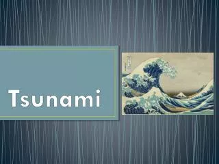
Tsunami
70 likes | 181 Vues
In the wake of the devastating 2004 tsunami fueled by a 9.1 magnitude earthquake, Pulo Breuh's survivors found refuge in Ulee Paya, a village where residents constructed evacuation routes to higher ground. Supported by the British Red Cross, the villagers widened existing roads and created clear signage to guide the community in emergencies. This initiative not only aids in immediate evacuation during tsunamis but also includes plans for helping vulnerable community members. Similar efforts have been extended to other villages to enhance infrastructure and safety.

Tsunami
E N D
Presentation Transcript
Creating tsunami evacuation routes in Indonesia • The huge tsunami waves triggered by a 9.15 magnitude on 26 December 2004, claimed the lives of around half the 12,000 inhabitants of PuloBreuh, one of a group of islands floating just off the tip of Aceh in Indonesia. But in UleePaya, a small village of 47 households nestling at the foot of green wooded slopes near the sea, some people survived by fleeing to higher ground. • “This road already existed before the disaster and it was the idea of the villagers to use it for a tsunami evacuation route. Many came up here to escape the tsunami, and they use it often because they have plantations up on the hill,” explains 25-year-old British Red Cross volunteer Muhammad, standing on the concrete path, which has a smooth section on one side and steps on the other.
With a grant from the British Red Cross, the villagers widened the existing road and extended it up through the trees. It ends in a clearing around 100 meters above sea level where people can gather in the event of earthquakes that might trigger a tsunami, storm surges or high tides.
Sighs • Signs in the village, displaying a big wave and an arrow, clearly point the way to the evacuation route. They tell people to head for higher ground if the sea level drops after an earthquake – a sign that a tsunami may be on its way. • The community has also worked out plans to help less physically able members of the community, including older people, children and pregnant women, climb to higher ground. • The Red Cross supported two other villages on the other island, Seurapong and Gugop, to develop similar evacuation routes under a programme to develop basic infrastructure that can make communities safer in disasters.