Download
1 / 42
420 likes | 439 Vues
Discover the essential information about the physical features of Europe, including the Rhine and Danube rivers, the Alps and Pyrenees mountains, the English Channel, Iberian Peninsula, Scandinavian Peninsula, Mediterranean Sea, and European Plain. Learn about their significance in trade, cultural exchange, defense, and natural resources.

E N D
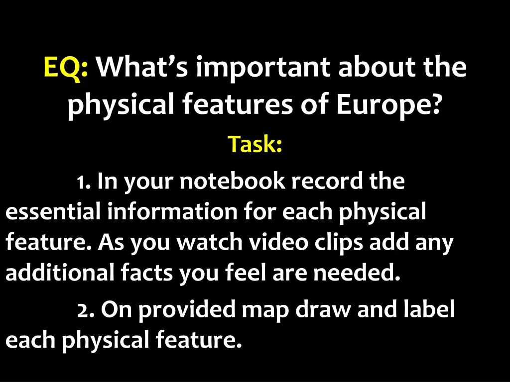
EQ: What’s important about the physical features of Europe? Task: 1. In your notebook record the essential information for each physical feature. As you watch video clips add any additional facts you feel are needed. 2. On provided map draw and label each physical feature.
Rhine River Longest river in Germany An important waterway for trade Begins in Switzerland, winds through Germany, France, Luxembourg, & The Netherlands
Danube River 2nd largest river in Europe (Volga is first) Flows through 9 countries: Germany, Austria, Slovakia, Hungary, Croatia, Serbia, Bulgaria, Romania, & Ukraine 1,770 miles long Played a vital role in the development of central Europe (trade & cultural diffusion)
The Alps Located in Austria, France, Germany, Switzerland, Italy, Slovenia, & Liechtenstein Major tourist destination Extend for almost 700 miles!
Pyrenees Mountains Form the natural border between France & Spain Extend for about 270 miles
Ural Mountains Considered the natural boundary between Europe & Asia Divide Russia: 1/4 is in Europe, 3/4 is in Asia 1,500 miles long! Among the world’s OLDEST mountain ranges Huge deposits of gold, nickel, silver, platinum, coal, iron, & other minerals http://www.youtube.com/watch?v=xKkwCkGmgJQ
The English Channel Small body of water that separates England from France 350 miles long In the past, it was used as a good system of defense for England An important waterway for trade
Iberian Peninsula The Pyrenees form the northern border 2nd largest peninsula in Europe Includes the countries of Spain & Portugal
Scandinavian Peninsula Largest peninsula in Europe (1,150 miles long) Consists of Norway, Sweden, and the northern region of Finland Region is rich in timber, iron, & copper
Mediterranean Sea Important route for trade & cultural exchange Located between 3 continents (Europe, Africa, & Asia) Covers an area of 965,000 square miles Name means “in the middle of the earth” (surrounded by land) http://www.youtube.com/watch?v=8_XPdzoljZw
The European Plain Largest mountain-free landform in Europe Stretches from the Pyrenees in the west to the Ural Mountains in the east Extends 2,000 miles Successful agricultural area


