Download
1 / 19
190 likes | 204 Vues
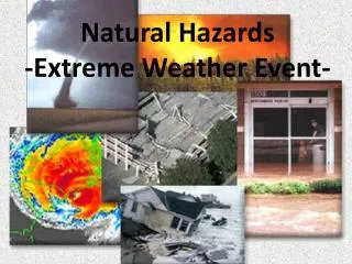
Extreme Weather and Natural Hazard Vulnerability Assessment on the National Highway System. Scott Schurman, Kentucky Transportation Cabinet Ben Blandford, Kentucky Transportation Center. Overview.

E N D
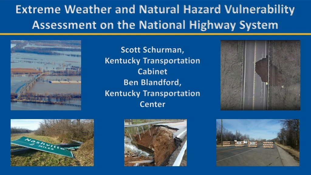
Extreme Weather and Natural Hazard Vulnerability Assessment on the National Highway System Scott Schurman, Kentucky Transportation Cabinet Ben Blandford, Kentucky Transportation Center
Overview • In December of 2014, the Federal Highway Administration (FHWA) issued Order 5520 to establish a policy on preparedness and resilience to climate change and extreme weather events. • As part of this directive, state transportation agencies are instructed to implement and evaluate risk-based and cost-effective strategies to minimize climate and extreme weather risks and protect critical infrastructure using the best available science, technology and information. • Requirements from Moving Ahead for Progress in the 21st Century Act (Map-21), codified into 23 CFR 515 and 667, mandates state DOTs to develop a risk based asset management plan for the National Highway System (NHS).
Project goals • Perform a vulnerability assessment that identifies KYTC’s assets that are at risk to extreme weather events and other natural hazards • Quantitative (existing data) • Qualitative (local knowledge) • Identify assets that are at greatest need of assessment • National Highway System • KYTC District Maintenance Facilities and other critical KYTC infrastructure • Identify assets that could be a future risk to increased extreme weather events as a result of climate change • Compile data and assessments into a GIS database • Implement findings into KYTC’s risk based asset management plan required under MAP-21
National Highway System What is the National Highway System? • The National Highway System (NHS) is a network of roadways vitally important to the nation’s economy, defense, and mobility. The NHS includes: • The Eisenhower Interstate System. • Other Principal Arterials: These are highways in rural and urban areas which provide access between an arterial and a major port, airport, public transportation facility, or other intermodal transportation facility. • Strategic Highway Network (STRAHNET):Network of highways important to the United States’ strategic defense policy and which provide defense access, continuity and emergency capabilities for defense purposes. • Major Strategic Highway Network Connectors:Highways that provide access between major military installations and highways which are part of the Strategic Highway Network. • Intermodal Connectors:Highways that provide access between major intermodal facilities and the other four NHS subsystems.
NHS Assets in Kentucky ● National Highway System Assets Assessed in Kentucky ● 3,278 Miles of Roadway ● 830 Bridges ● 390 Culvert Locations ● 1495 Other Structures ● Future National Highway System Assets Assessment Needed ● Lighting ● Guardrail ● Signals ● Signage
Transportation system hazards • Extreme weather events • Flooding: regional flooding, flash flooding • Severe thunderstorm: wind, hail • Severe winter storm: snow, ice • Extreme temperature: heat, cold • Drought • Wildfire • Freeze/Thaw cycles • Other natural hazards • Seismicity • Landslide • Karst Average annual number of freeze/thaw days (Haley 2011).
KYTC survey results, Fall 2015 • Extreme weather events • Flooding: regional flooding, flash flooding • Severe thunder storm: wind, hail • Severe winter storm: snow, ice • Extreme temperature: heat, cold • Drought • Wildfire • Other natural hazards • Seismicity • Landslide • Karst
Data sources • KYTC • Bridge inventory • Maintenance records • KTC • Bridge seismic vulnerability ratings • FHWA • Vulnerability assessment tools and research • Pilot Assessments • KGS • Karst potential and existing sinkholes • USGS • Seismic risk and peak ground acceleration rates Karst potential in Kentucky (KGS).
Data Sources (cont.) • ● FEMA • ● Floodplain Mapping • ● National Weather Service • ● Historical Meteorological Data • ● Midwest Regional Climate Center • ● Precipitation and Temperature trends • ● Oak Ridge National Laboratory • ● Future climate projections • ● Other Data Sources • ● Other State DOT Vulnerability Assessments • ● TRB Publications • ● Research Publications
KYTC District Workshops • Assess vulnerability of National Highway System assets in each KYTC District • Focus on flooding, landslide, karst, and seismicity • Detailed feedback and evaluation from local engineers and maintenance officials • Identify segments and bridges most prone to disruption and/or damage
Assessing criticality Source: WSDOT Impacts Vulnerability Assessment 2011
Assessing vulnerability Source: WSDOT Impacts Vulnerability Assessment 2011
Assessment Results on NHS – Kentucky Highway Segments Other Assets
Assessment Results • Identify assets with the greatest vulnerability to natural hazards for each District. • Identify five most vulnerable assets in each KYTC District. KYTC District 2 top 5: • U.S. 41 Twin Bridges: earthquake and flood • I-24 in Christian County: sinkholes and flood • WKY Parkway in Ohio County: flooding concerns at Green River • KY-2262 bridge over the Ohio R.: flood and earthquake • WKY Parkway in Muhlenberg and Hopkins County: flooding concerns at Green and Pond Rivers
Assessment Results (cont.) • Identify all NHS assets that have experienced failure or disruption from extreme weather or natural hazards for each District. • Identify other vulnerable KYTC assets (maintenance facilities, other vital infrastructure) in each KYTC District.
Current Activities and Next Steps • Implement findings into KYTC’s risk based transportation asset management plan that is currently being finalized for June 2019 submittal to FHWA. Risk register development of high risk assets from past vulnerability assessment. • FHWA Pilot Project on integrating the effects of extreme weather and climate change into transportation asset management. Kentucky was one of six states that was awarded a pilot project in August 2017. Final report due to FHWA February 1, 2019. • For the FHWA Pilot project, KYTC has been focused on: • Refinement of bridge vulnerability; development of bridge vulnerability scoring tool • Future pavement performance using projected climate data • Process improvements
Current Activities and Next Steps • Development of GIS based KYTC Vulnerability mapping tool and mapping of ER events to aid KYTC and FHWA with 23 CFR Part 667 compliance. • Implement assessment findings into KYTC’s Planning, Design, Operations, and Maintenance processes. • Formation of KYTC Resiliency Team. • Future refinement of vulnerability for integration into KYTC’s SHIFT project prioritization process.