Download
1 / 11
110 likes | 382 Vues
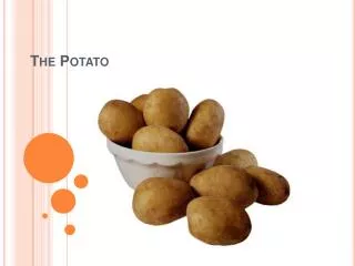
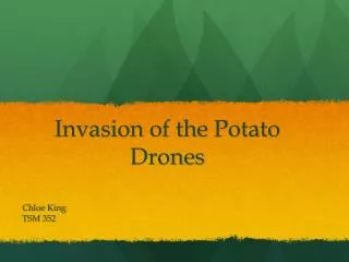
Invasion of the Potato Drones. Chloe King TSM 352. Whats that Sound?. Increasingly, there has been a soft hum of various unmanned aerial vehicles (UAVs) swooping over the potato crops-used for experimintation and study – at the International Potato Center (CIP) in Lima.

E N D
Invasion of the Potato Drones Chloe King TSM 352
Whats that Sound? • Increasingly, there has been a soft hum of various unmanned aerial vehicles (UAVs) swooping over the potato crops-used for experimintation and study – at the International Potato Center (CIP) in Lima. • These UAVs are being developed by CIP to more effectively monitor and study potato and sweetpotato populations throughout the country.
What are DRONES? • Drones are Unmanned Aerial Vehicles. • Much like your high tech flying helicopters used on a more technical scale for various purposes.
How does this project relate to Land & Water Management? • Remote sensing projects make it possible for scientists to observe how plant life develops and evolves across landscape over time through different factors such as • Biomass • Nutrient content • Disease • Soil & Water use
The remote sensing project being developed for the Bill and Melinda Gates Foundation spans across the CGIAR, with activities linked to the CGIAR Research Programs on Climate Change, Agriculture and Food Security (CCAFS) and on Water, Land and Ecosystems (WLE). • It will provide new information about weather, crop performance, resource use and the improved genetic traits sought by crop breeders. • In order to do so, a complete lay of the land will need to be recorded by UAVs to discern crop types, any present diseases, and the effects of climate change.
These Drones will have programs set in them very much like the programs we worked on all semester in excel to be able to collect and arrange data from the fields to give to scientists to evaluate.
What kind of Drones are being used? • Currently the international Potato Center (CIP) uses a number of airplane and helicopter UAVs including an impressive Oktokopter XL. • http://youtu.be/2K3S27sD-w4
Who is working on this project? • The diverse team consisting of electrical engineers and agricultural technicians, currently oversees the development of UAV technology for CIP, and their work developing aerial photographic and computer systems and programming for drone aircraft brings both agricultural and aerial technology together in new and exciting ways.
The Hopeful future of the “Potato Drones” • The major objective at this time is to differentiate between different potato and sweetpotato crops from high altitudes. CIP will then impose these photographs over satellite imagery and provide far great detail for use by scientists. Furthermore, the team is developing their own flight programming in order to send UAVs off on data/image missions using nothing more than installed GPS devices and satellite imagery. While monitored, the programs allow for the drones to autopilot their way through the entire operation.
CREDITS • http://www.youtube.com/watch?v=2K3S27sD-w4&feature=youtu.be • http://www.farmingfutures.org.uk/blog/invasion-potato-drones • International Potato Center (CIP) • http://cipotato.org/press-room/blogs/invasion-of-the-potato-drones