Analyzing Urban Crime Patterns in London: SEDUC Project Insights
This report delves into the relationship between socio-environmental factors and street crime in London's Thames Gateway area, focusing on neighborhoods such as Barking, Dagenham, Tower Hamlets, and Newham. Utilizing advanced statistical models like multiple regression and decision trees, we analyze crime hotspots, average weighted distances, and time-specific trends related to town centers, pubs, and bars. This confidential data aims to identify underlying correlations and inform urban planning to mitigate crime and improve community safety.

Analyzing Urban Crime Patterns in London: SEDUC Project Insights
E N D
Presentation Transcript
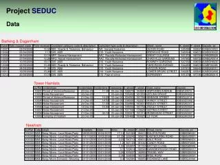
Barking & Dagenham Tower Hamlets Newham Project SEDUC Data
Project SEDUC Codes
Project SEDUC Study Area
Project SEDUC ASB Data Points
Little Heath Valence Circle Forest Gate Becontree East Ham Bethnal Green Upton Park Stepney Poplar Wapping Project SEDUC Hotspots
Project SEDUC ...in relation to Town Centres
Project SEDUC ...in relation to Pubs and Bars
Project SEDUC ...at different times of day
Project SEDUC Street crime in the London Thames Gateway from point data (confidential) to small area rates that cannot be reverse engineered
Project SEDUC Variables
Project SEDUC Average weighted distance
Project SEDUC Correlations Correlationwith Street Crime(rate per km, by OA)
Project SEDUC Factor Analysis
Project SEDUC Multiple regression model
Project SEDUC Hotspot Residuals
Project SEDUC Decision Trees
Project SEDUC Socio-Environmental Degradation and Urban Configuration Discussion
Project SEDUC Hotspots