Download
1 / 19
190 likes | 203 Vues
Explore governance and urban planning systems to assess resilience to climate-induced disasters, merging CCA/DRR, stakeholder involvement, and vulnerability analysis. Hypothesize challenges in Dar es Salaam and Saint Louis for transformative urban actions. Recommendations for adaptive governance.

E N D
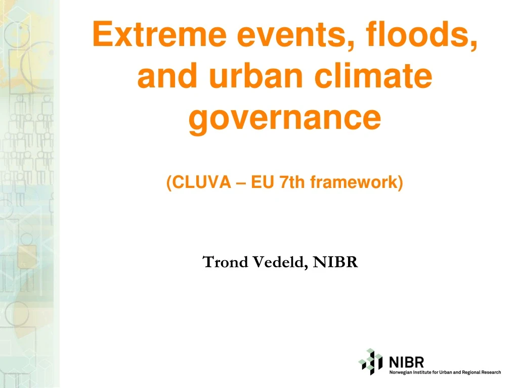
Extreme events, floods, and urban climate governance (CLUVA – EU 7th framework) Trond Vedeld, NIBR
Goal of research • To explore the governance and urban planning system in order to assess capacity to cope with climate-induced disasters and urban planning • Provide recommendations on better integration of CCA/DRR • Adm/gov & legal structure, mandate and boundaries, planning capacity, land administration, finance, disaster risk reduction, emergency response, awareness (2 cities) • Stakeholder involvement/stakeholder analysis • Develop a framework for undertaking analysis of ”climate risk governance” • Approach: Document studies, interviews, survey with decision makers
Framework for understanding climate governance • Climate scenarios & risk exposure (WP1) • City typology - socio-ecological characteristics, topography, hydro/geology, green & built structures (WP1 & WP2) • Risk and contextual social vulnerability (WP2) • Risk & vulnerability in social and spatial terms and overlay of institutional jurisdictions for urban planning & governance (WP3.1 &3.2) • Underlying vulnerabilities – non-climatic drivers – who? • Governance and urban planning system - opportunities and barriers to integration of climate risk management (DRR & CCA) – WP3.1
Role of cities in adaptation and risk reduction in Africa Climate change best addressed at multiple scales & levels = key role for urban & local government Cities represent high concentration of people, assets, economic activities – high values at risk Limited awareness among city policy makers; weak governance systems Rapid urbanization trends & expansion into risk prone areas; 70-80 percent of people live in unplanned informal settlements without water supply, sanitation, proper roads and storm drains, declining ecosystems Majority of large cities in low coastal zones – exposed & vulnerable settlements, people, livelihoods, assets, green structures, infrastructure High potentials for linking adaptation & mitigation
Why social & institutional dimensions? Hazards & risks turn into disasters due to vulnerable communities/limited human capacity to respond/adapt – not mainly due to the climate hazard itself (hypothesis) Social science can explain how climate risks reinforce underlying vulnerabilities and links to poverty, social change and governance Reveal what is really at risk and for whom (distributional, social justice, policy issues) Bring out diversity of perspectives and barriers towards transformative actions Provide directions for urban governance
Some hypotheses • Limited local capacity to act (vulnerability) • Top-down and inefficient urban planning • Lack of strategic planning and enforcement • Limited interest among local business/middle class and lack of political drive • Inadequate institutional capacity at all levels • Inadequate information and awareness and accountability among decision makers
Dar es Salaam – • ”Harbour of peace” • Location, bio-physical, topographic context matter for vulnerability ! • coastal low-lying plain with settlements in wetlands, floodplains + coastal erosion – 10 km • inland alluvial plains with steep sided valleys (ravines) and rivers and streams
Floods in Dar es Salaam Old Bagomoyo Road 2010
Informal settlements in DSM Low-lying along river valleys & no drainage No solid waste collection Low-quality housing and lack of sanitation
Saint Louis, Senegal Coastal & riverine city – extremely exposed to massive floods & sea-level rise & drought Located on four low-lying islands – former wetlands
Key issues - e.g. floods/flash floods Saint-Louis: Massive floods from Senegal River e.g. 1998/2000/2009/10 ++ Damage to housing & lifelines/water/drainage Displacement – 5600 in 2010 DSM: Flash floods (every year?) Combination of e.g. high density rainfall and lack of drainage, overflow of pit latrines, solid waste piling up, soil erosion/land slides, clogging bloackage of drains Spread of diseases, health & sanitation issues Contamination of freshwater sources and peri/urban agricultural land and produce Ouagadougou, Douala – also flash flood issues
City typology – comparing five cities? City characteristics (location e.g. coastal, drylands, near river, size, topography etc) Climate induced hazards and cc exposure (recent trends; major hotspots; risk patterns) Vulnerability of a) socio-economic system; b) green environment; c) built environment Urban planning & governance systems
Analysis of city governance General information on the administrative system– select 3 departments of the city for in-depth fieldwork? E.g. i) urban centre; ii) peri-urban; iii) rural outskirts (risk exposed & vulnerable?) General structure of policy and legal framework and institutional mandates – national, city, local Key municipal structures and capacity related to CCA & DRR & urban planning
Analytical approach Overlay of risk exposure & social vulnerability with institutional structures and jurisdictions (choose vulnerable/less vulnerable sites in different adm areas? Informal settlements in centre/peri-urban and formal Who governs, by what means, for whom and in what locations and how effectively Policy coherence, legal enforcement and coordination – governance gaps and blind spots related to e.g. land use planning, tenure, DRR/CCA Participation & stakeholder analysis
Governance at three levels Ways in which urban planning and governance influence social vulnerability (assets, livelihoods incl. green structures, urban agric, built environment, lifelines) Interface between formal institutional planning and governance system and informal systems and underlying drivers How urban planning and governance actions create barriers/enhance adaptation/resilience
Institutional mapping/analysis • General info on urban adm and urban planning system (2-4 departments) • Policy & legal frameworks – national & city – for: • Urban/spatial planning e.g. zoning, enforcements esp. in addressing informal settlements, infrastructure, DRR • Governance e.g. character of municipal authority, mandates, finance, services, coverage, awareness/knowledge of CCA/DRR, capacity of DRM agency, integration of CCA/DRR in planning & governance related to key extreme events
Urban climate risk governance – challenges for gov & planning To informality & multiple drivers of vulnerability Complexity, uncertain knowledge, surprises, long time horizons – low prob/high impacts Coordination & capacities of diverse actors, multiple levels & scales, private, common & public goods and services Limited financial, adm capacity, mandate & legitimacy/accountability
Potential CCA & DRR & planning measures Public awareness (build culture of DRR) Early warning, contingency planning Participation in DRR + planning Guided zoning, strategic land development, tenure Improved housing and climate-proof infrastructure; upgrading and regularizing – not evicting Promotion of green structures Change in policies, laws and regulations (avoid unnecessary formalization) Build on what works + low hanging fruits !!
Polycentric approach to analysing governance Municipal governments are fairly open and diverse systems – dynamic & (too) flexible Decision making bodies at multiple levels and scales with discrete but often overlapping mandates and jurisdictions Limited capacities in responding to new, uncertain and complex cc risks & vulnerabilities Diversity of stakeholders - partnerships