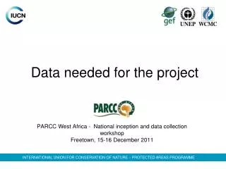
Data needed for the project
Join us at the workshop to collect crucial data for protected areas, species, climate, and socio-economic factors in West Africa. The information gathered will help assess vulnerability to climate change and build future projections.

Data needed for the project
E N D
Presentation Transcript
Data needed for the project PARCC West Africa - National inception and data collection workshop Freetown, 15-16 December 2011 INTERNATIONAL UNION FOR CONSERVATION OF NATURE – PROTECTED AREAS PROGRAMME
Protected areas • PA boundaries and location
Legal texts: decrees of creation, laws • Pressures and threats (GIS data) • Governance of the PA (State, communities, private, etc) • Management plans • IUCN category (but all PAs are not necessarily classified according to IUCN categories) • International label: World Heritage? Ramsar? etc
Species • List of species • Species of the Red List of threatened species
EN (endangered) : Diana Monkey? African Wild dog? • VU (vulnerable) : African Elephant? Lion? Hippopotamus? Manatee? These data will serve as a basis to: - assess the vulnerability of species to the impacts of CC - and also for building climatic models and scenarios.
Climate • Monthly Information of Agrhymet (also ACMAD)
Rainfall (monthly and daily) – METT Office • Temperatures • Hydrological data These data will be used to build projections of the future climate, thus predict possibles future impacts on PAs and species
Vegetation, fire, socio economic data - Vegetation: textsfrom sites descriptions des parcs; GIS data - Fire: isthere a fire monitoring strategy? - Socio-economic data: population (number), population density, population growth rate, rural population, foodsecurity, sanitation data, etc Information at the sub national level