Download
1 / 26
260 likes | 544 Vues
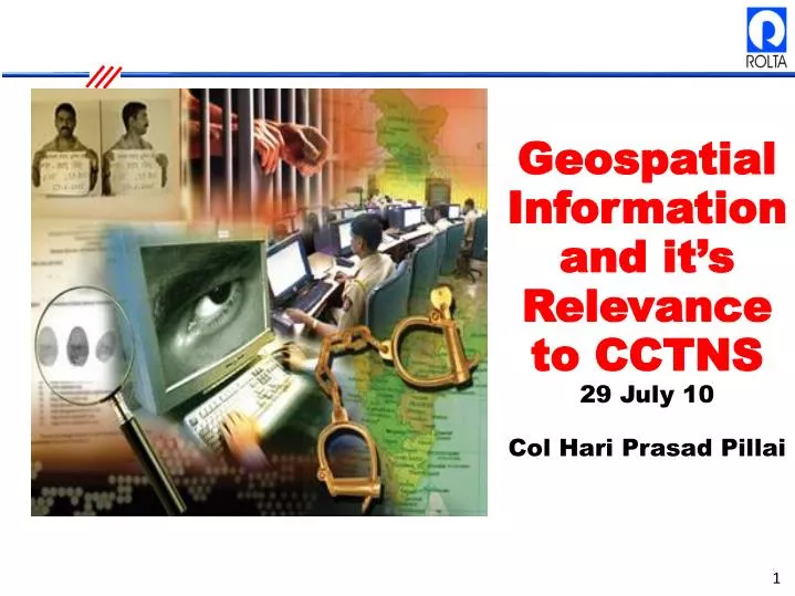
Geospatial Information and it’s Relevance to CCTNS 29 July 10 Col Hari Prasad Pillai. CCTNS – IMPLEMENTATION MODEL. SDA. NCRB. State Police. RCIS. SPMC. CAS at NCRB. Central Infrastructure. H/W. N/W. Additional State Specific Requirements. Data Centers. Comms Sys. CAS STATE.

E N D
Geospatial Information and it’s Relevance to CCTNS 29 July 10 Col Hari Prasad Pillai
CCTNS – IMPLEMENTATION MODEL SDA NCRB State Police RCIS SPMC CAS at NCRB Central Infrastructure H/W N/W Additional State Specific Requirements Data Centers Comms Sys CAS STATE Commissioning & ProjMgmt Legacy Data Migration Training & Handholding
Why CCTNS? (Crime & Criminal Tracking Systems) • Track crimes across the country • Track criminals by sharing profile & crime records information • Better understanding of crime patterns • Better understanding of criminal Modus Operandi • Enable better handling of situation – Better preparedness
To achieve the CCTNS • Link all Police Stations • So that they can share all info (about Crime & Criminal) • Connectivity, Communication (N/W….), Infrastructure, Data, Trained Manpower, Application
Challenges & Solutions Challenges Solutions • Design one • Multilingual Interface • Customization • New technology exists to achieve this • Training & Capacity building • Geospatial Tech can be integrated • Top down approach • Readymade solution not available • Different languages in different states • Different needs of different States • Integration & Interoperability of Legacy Data & Systems • Manpower not yet trained • City/State wide map data not available • Resistance to change
Customization - Inner Line Permit 1 RameshAggarwal entering Mizoram for 15 days 2 A ILP data gets uploaded at Aizwal Police HQ His details with ILP formentered at the 1st State Boundary HQ Email dispatched to Aizwal Airport & 2nd State boundary & Local Police Station When ILP is about to expire an email is sent to concerned Police Stations (if he is still residing in the State) Data as on 29rd July 2010
GIS GIS database Police Data Hospital Data Fire Brigade Terrorist Data Institutional Event Data Map Server Land Management MIS Data Integrator Microstation Geospatial Fusion Word PDF Document Viewers Virtual Earth Google Document Management System OGC-WFS MapPoint OGC-WMS Virtual Earth Data Google Earth Data Other Data • Geographic Data : Through Map service providers • Infrastructural Data : Directly or through MIS Data Integrator • Documents : Directly or through Document Management System Documents & Drawings User Integrated web client functionality for user benefit 9
Data Integration & Geospatial Benefits Pin Mapping Count Mapping Hot Spot Mapping Journey to Incident Mapping Change-over-time Mapping Temporal Reporting Geo Conferencing
Crime mapping - Hot Spot Mapping • Definition: • Extract areas where the concentration of incidents is high • Identify clusters in geographic space • Options: • Simple one click generation • Advanced modes – assign weights, choose normalization • Benefits: • Distills complex information into a simple picture • Effective communication products for public education • Helps direct assets where they are most needed Public Disturbance 2004 Domestic Dispute 2004 Public Disturbance 2004
Crime Mapping – Journey to Incident Journey To Incident Mapping : Supports two types of analysis : “distance to incident” analysis (for example, measuring serial offenders average and maximum distances traveled to commit a crime), and “distance to recovery” analysis (for example, linking stolen and recovered property or vehicles to identify routes taken after a crime) • Journey to Incident Mapping
GeoConferencing • Expanding of map for multi-locationalinteraction • Annotations possible from multiple locations • Based on Internet plus Multitier Architecture • Uses min communication bandwidth • Accessing geospatial data over web without data duplication
THANK YOU For additional information contact : Hari Prasad Pillai hariprasad.pillai@rolta.com Tele : 022- 29266666 Mob: 9930927757 www.rolta.com