Waves, wind, and Glaciers
Waves, wind, and Glaciers. Erosion and Deposition. How Waves Form. The energy in waves from wind that blows across the water’s surface. . Erosion by Waves. Waves shape the coast through erosion by breaking down rock and transporting sand and other sediment. How Waves Erode Land. Impact

Waves, wind, and Glaciers
E N D
Presentation Transcript
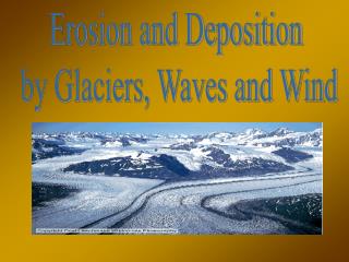
Waves, wind, and Glaciers Erosion and Deposition
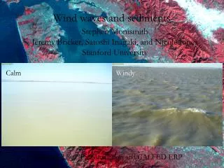
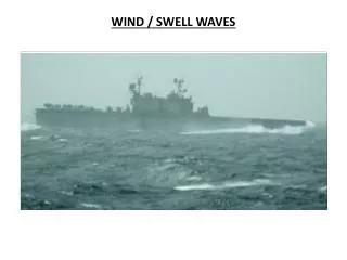
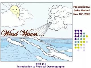
How Waves Form • The energy in waves from wind that blows across the water’s surface.
Erosion by Waves • Waves shape the coast through erosion by breaking down rock and transporting sand and other sediment.
How Waves Erode Land • Impact • Abrasion • Change in Wave Direction
Headland • Part of the shore that sticks out into the ocean. • Example: Marin Headland
Erosion by Wind • Wind causes erosion by deflation and abrasion.
Deflation • The erosion of sediment by wind. • Stronger the wind, the larger the particles it can pick up.
Glacier • Any large mass of ice that moves slowly over land.
Plucking • The process by which a glacier picks up rocks as it flows over the land.
Till • A mass of rock and soil deposited directly by a glacier.
Continental Glacier • A glacier that covers much of a continent or large island. • Can cover millions of square kilometers. • Antarctica and Greenland. • Can flow in all directions. • Can spread out like pancake butter in a frying pan.
Ice Ages • In the past, continental glaciers have covered larger parts of the Earth’s surface.
Valley Glaciers • A long, narrow glacier that forms when snow and ice build up high in a mountain valley. • The sides of mountains keep these glaciers from spreading out in all directions. • Found in many high mountains. • Sierra Nevada and Mount Shasta.
Glaciers • Glaciers can form only in an area where more snow falls than melts. • Once the depth of snow and ice reaches more than 30 to 40 meters, gravity begins to pull the glacier downhill.
Glacial Deposition • When a glacier melts, it deposits the sediment it eroded from the land, creating various landforms.
Credits • Geo Resources • http://www.google.com/imgres?hl=en&biw=1169&bih=663&tbm=isch&tbnid=NEojdsvuGCLF8M:&imgrefurl=http://www.georesources.co.uk/leld.htm&docid=IGXmJeec1Qr11M&imgurl=http://www.georesources.co.uk/sea6.gif&w=380&h=292&ei=P_5nT_2FI6yMigLawKmgBw&zoom=1&iact=hc&vpx=480&vpy=226&dur=1544&hovh=197&hovw=256&tx=159&ty=83&sig=102853300329707996231&page=2&tbnh=145&tbnw=189&start=15&ndsp=20&ved=1t:429,r:7,s:15 • Association of Environmental & Engineering Geologists. Retrieved on 3/19/2012. • http://www.google.com/imgres?hl=en&biw=1169&bih=663&tbm=isch&tbnid=xXW6jQgEKQBf_M:&imgrefurl=http://www.aegweb.org/i4a/pages/index.cfm%3Fpageid%3D4083&docid=EmzY2eWlU_R95M&imgurl=http://www.aegweb.org/images/Geologic%252520Hazards/erodedbeach.gif&w=400&h=280&ei=P_5nT_2FI6yMigLawKmgBw&zoom=1&iact=hc&vpx=491&vpy=157&dur=3908&hovh=188&hovw=268&tx=171&ty=55&sig=102853300329707996231&page=1&tbnh=134&tbnw=191&start=0&ndsp=15&ved=1t:429,r:2,s: