Download
1 / 10
110 likes | 423 Vues
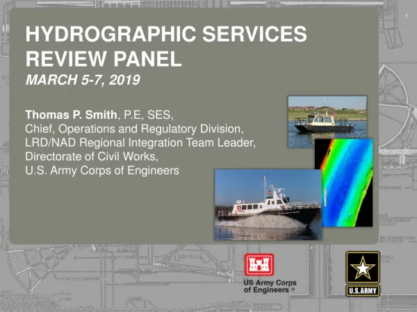
Hydrographic services review panel march 5-7, 2019. Thomas P. Smith , P.E, SES, Chief , Operations and Regulatory Division, LRD/NAD Regional Integration Team Leader, Directorate of Civil Works, U.S . Army Corps of Engineers. USACE Navigation Mission.

E N D
Hydrographic services review panelmarch 5-7, 2019 Thomas P. Smith, P.E, SES, Chief, Operations and Regulatory Division, LRD/NAD Regional Integration Team Leader, Directorate of Civil Works, U.S. Army Corps of Engineers
USACE Navigation Mission Provide safe, reliable, efficient, effective and environmentally sustainable waterborne transportation systems for movement of commerce, national security needs, and recreation. • U.S. Marine Transportation industry supports ~ $2 Trillion in commerce annually • More than 48% of consumer goods in the U.S. pass through harbors maintained by USACE • Over 1.3 Billion short tons of foreign goods moved through U.S. ports/waterways in 2015 • Over 900 Million short tons of domestic goods moved through U.S. ports/waterways in 2015 • 15% of domestic freight carried by water • 13,000 miles of coastal and deep draft channels • 1,067 coastal, Great Lakes, and inland harbors • 40 states are directly served by USACE channels & waterways
Extensive waterway Operations, maintenance and construction activities ***** Resulting in timely and accurate chart data **** • Authorized Navigation Channel Projects • High Use: > 10M tons 56 • Moderate Use: 1M to 10M tons 74 • Low Use: < 1M tons 938 Channel dredging averages 280M cubic yards per year
Federal Partnership: Sharing Channel Condition Data Data availability through a single enterprise rather than multiple districts • Areas of collaboration between USACE and NOAA, in addition to continued availability of surveys and channel boundaries; • Obstruction surveys • Category Zone of Confidence (CATZOC) on NOAA charts • Consistency of information in NOAA charts and USACE survey plots • High resolution multibeam data for national dataset
eHydro: Channel Condition Data Covering All Ports and Waterways from a Single Portal Less cost disseminating data Consistent format, structure, and availability Enables enterprise performance analysis of navigation system
Contingency Operations at Southwest Pass: DEC 2018 - MAR 2019 Sustained high water conditions generating extensive shoaling • USACE Navigation Priority: • Continuous coordination with ports, industry, affected stakeholders • Multiple hopper dredges • Three survey vessels performing daily surveys • Surveys and shoaling polygons available in eHydro portal Deployed assets on 22 FEB 2019 Electronic chart overlays being produced from daily surveys
2017-2018 Emergency Response Channel Re-Openings Multiple ports surveyed and re-opened following hurricane activity • Hurricanes • Harvey • Irma • Maria • Florence • Michael Interagency efforts to survey and clear obstructions – most ports and channels re-opened within three days Extremely valuable help from NOAA survey vessels clearing remote ports in Puerto Rico, and finding obstructions in Key West, FL and Wilmington, NC • Impacting • TX & LA Coasts • Florida • Puerto Rico • Carolina Coasts • AL & FL Gulf Coasts
Navigation Challenges • Maintaining authorized/constructed channel dimensions • Cost of dredging • Environmental Compliance • Air and water quality requirements • Threatened, endangered, and invasive species • Dredging windows
Increased cost of doing business…. More efficient use of dredging resources Data Sources Dredge Fleet Scheduling Recommendations Framework Surveys + Existing Tools Dredge Project Selection Suggestions Channel Portfolio Tool Corps Shoaling Analysis Tool
Constrained funding, Environment…. Thin-Layer Placement of Dredged Sediments • Strategic Placement of Dredged Sediments can… • Reduce Navigation Costs • Provide Ecosystem Restoration • Reduce Coastal Storm & Flood Risk Mobile Bay Cost Savings: $6M/yr Benefit of Wetlands: $625M (Hurr Sandy) Wetlands can reduce average annual coastal flood impacts by 20% 10