Download
1 / 14

E N D
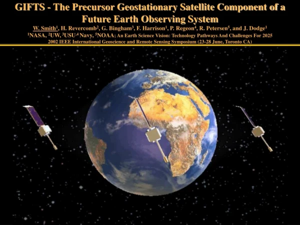
GIFTS - The Precursor Geostationary Satellite Component of a Future Earth Observing SystemW. Smith1, H. Revercomb2, G. Bingham3, F. Harrison1, P. Regeon4, R. Petersen5, and J. Dodge11NASA, 2UW, 3USU,4 Navy, 5NOAA; An Earth Science Vision: Technology Pathways And Challenges For 20252002 IEEE International Geoscience and Remote Sensing Symposium (23-28 June, Toronto CA)
A 20/20 Vision (Weather in Our Palm) By the year 2020, mankind will have the technology (observations and models) to digitize the earth’s surface and its atmosphere with a resolution of 1 km and 1 minute And Every individual on earth will have personal and timely access to weather observations and accurate weather forecasts through a “palm” computer/display unit.
Vision Requirements Sensor/Communications/Computational Web • Global continuous earth observing system • Computer system capable of continuous real-time 4-d assimilation of global data to create a “Digital Earth” • Accurate model of the Earth system • Global real-time data/information delivery system • Personal (i.e., hand held) data access and display system
ESE Vision Sensor Web • Low Earth Orbiting: • Global coverage • High spatial resolution • Microwave sounding • GPS density profiles • LIDAR for winds, H2O, O3, CO2 • Geostationary Earth Orbiting: • High temporal resolution (weather dynamics) • Tracer wind velocities • Synergism with ground-based observations • Lightning and microwave precipitation
GeostationaryImagingFourierTransformSpectrometerGIFTS – A revolutionary weather forecast tool New Technology for Atmospheric Temperature, Moisture, & Winds EO-3 “GIFTS-IOMI” 4-d Digital Camera: Horizontal: Large area format Focal Plane detector Arrays Vertical: Fourier Transform Spectrometer Time: Geostationary Satellite
GIFTS Sampling Characteristics • Two 128x 128 Infrared focal plane detector arrays with 4 km footprint size • Two 512 x 512 Visible focal plane detector arrays with 1 km footprint size • Field of Regard 512 km x 512 km at satellite sub-point • Ten second full spectral resolution integration time per Field of Regard
GIFTS IR Measurements Wavelength (m) Wavelength (m) Wavenumber(cm-1) Wavenumber(cm-1) Shortwave IR Focal Plane: (4.4 to 6.1 microns) Water vapor sounding Carbon Monoxide profiling Boundary layer temperature sounding Surface temperature Cloud Properties • Longwave IR Focal Plane: • (8.8 to 14.6 microns) • Temperature sounding • Ozone profiling • Cloud altitude • Surface temperature • Cloud Properties
GIFTS – Water Vapor Airborne Validation Airborne Demonstration of Concept: 1-2 km vertical resolution water vapor profile measurements Raob NAST Altitude (km) H2O Radiance Spectrum Relative Humidity (%) Wavelength (m) 3km Distance (75 km) Wavenumber(cm-1)
Roadmap to Next Generation Studies Laboratory Demonstration Aircraft Water Vapor Tracer Wind Demonstration Future Geo-Sats EO-3 (GIFTS-IOMI)
Indian Ocean Ops TECHNOLOGY GIFTS-IOMI Program Concept VALIDATION Imaging Interferometer Cryogenic Michelson Interferometer Laser Metrology System On-Board Calibration LFPA and Cryogenic Cooling 128 x 128 Infrared Detector Arrays Redundant Cryo-Coolers High Speed Signal Processing Rad-Hard Analog to Digital Converters PowerPC Rad750 Data Compression Rad-Hard Processors Pointing and Control Star Tracker 512 x 512 Visible Detector Arrays Lightweight Optics SiC Telescope INFUSION NASA - Demonstrate Wind Sounding Measurement Concept & Validate the Technologies NOAA - Demonstrate Operational Utility & Infuses Technology into NOAA instruments Navy - Provides Advanced Imaging/Sounding Data Products for Fleet Operations
GIFTS Fills Geostationary Data Void (India) 83 E GIFTS-IOMI (USA) 75º E
GIFTS – The Geostationary Component GIFTS CALIPSO CloudSat Aqua PARASOL Aura NPP/NPOESS
The Significance of GIFTS • Observation Capability Will Revolutionize Weather & • Air Quality Forecasting • Hurricane landfall (steering wind profiles) • Tornadic storms (stability change monitoring) • Nowcasting (rapid measurement update) • Numerical prediction (initial p,T,q,V data) • Air quality forecasts (O3 and CO transport)


