Download
1 / 21
210 likes | 304 Vues
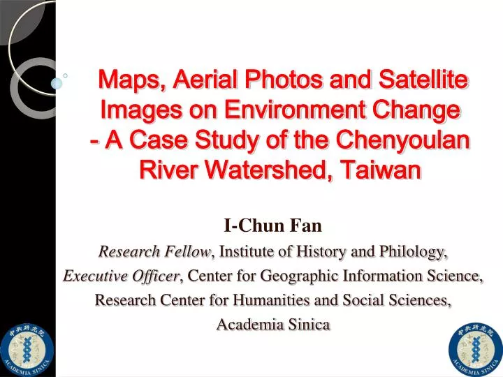
Maps, Aerial Photos and Satellite Images on Environment Change - A Case Study of the Chenyoulan River Watershed, Taiwan. I-Chun Fan Research Fellow , Institute of History and Philology, Executive Officer , Center for Geographic Information Science,

E N D
Maps, Aerial Photos and Satellite Images on Environment Change- A Case Study of the Chenyoulan River Watershed, Taiwan I-Chun Fan Research Fellow, Institute of History and Philology, Executive Officer, Center for Geographic Information Science, Research Center for Humanities and Social Sciences, Academia Sinica
Overview • Archiving Maps, Remote Sensing Imagery • at GIS Center, Academia Sinica • What the Maps and Remote Sensing Imagery can Help on the Studies of Enviroment Changes • Case study of Landscape Changes in the Chenyoulan River Watershed, Taiwan
Digital Archives of Maps and Remote Sensing Imagery at GIS Center URL: http://gis.rchss.sinica.edu.tw/mapdap Topographic Map of Taiwan (1882) Formoza Island(1845) Aerial Photo (1946) 3
Content Management Systems WebGIS-based Remote Sensing Imagery Management System Query System Digitizing Process • Remote Sensing Aerial Photos • 33,892 aerial photos of Taiwan during the 1940s. • 25,788 aerial photos of China during the 1950s. • More tahn15,000 rolls of aerial photo negatives total, • (c. 2,000,000 sheets) • Historical Maps • Around 100,000 maps of China. • Around 30,000 maps of Taiwan.
Issues Clarified through Maps, Aerial Photos and Satellite Images in Historical Perspective Hillside Disasters (Landslides, Deris Flows) Short Time Scale Long Time Scale Settlement Distribution Issues of Land Use and Socio-economic Developments (Deforestation, Cultivation, Roads) Geomorphological Change and River Rehabilitation Environmental Conservation Issues Historical transition Spatio-temporal GIS Platform
Study Area - The Chenyoulan River Watershed • Area: 448 km2 • Length: 42.4 km • With Steep Slope • Many River Terraces • High Turbidity Stream Flow • Many Landslides & Debris Flows occurred • National Forest Area & Aboriginal Reserved lands
Rectification & Georeferencing of Maps, Aerial Photos and Satellite Images Using Watershed boundaries as Ground Control Points
Application of the High Resolution DTMs to Generate Precise Watershed Boundaries 5m 10m 20m30m 40m
3D-Platform of the Chenyoulan River Watershed
Geomorphological Changes of the River Terrace and Landslides (3D)
The Spatio-temporal Framework of the Chenyoulan River Watershed,1946~2010- Extended Issues • Spatial correlation between deforestation, cultivation, roads and landslides
Reserved Area of the Indigenous People in the Chenyoulan River Watershed-Restricted Stages (1946)-Green: Deforestation area; Red: Cultivation ; Pink: Landslides
Reserved Area of the Indigenous Peoples in the Chenyoulan River Watershed- Interim between Restricted and Developed Stages (1971) -Green: Deforestation area; Red: Cultivation; Pink: Landslides
Reserved Area of the Indigenous People in the Chenyoulan River Watershed- Contemporary Situation(2011)-Green: Deforestation area; Red: Cultivation; Pink: Landslides
Spatial Correlation between Deforestation, Cultivation, Roads and Landslides by 1946 • Large deforestation areas • Few landsilde occurred in deforestation area
Spatial Correlation between Deforestation, Cultivation, Roads and Landslides by1971 • Deforestation area reduced and fragmented • Increase of cultivation and roads • Small landslides increased
Spatial Correlation between Deforestation, Cultivation, Roads and Landslides by 2002 • Deforestation area was fully recovered • Land cultivation grew with road development • Many new landsildes occurred along roads
Conclusion • Visualization of Landscape Changes. • Spatial Qualitative to Quantitative Analysis. • Building A Spatio-temporal Platform Serves for Interdisciplinary Approach to the Environmental Issues