Download
1 / 39
390 likes | 666 Vues
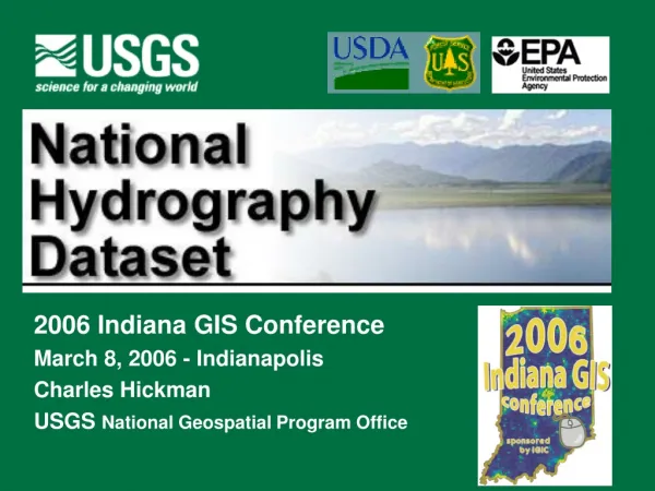
2006 Indiana GIS Conference March 8, 2006 - Indianapolis Charles Hickman USGS National Geospatial Program Office. Disciplines of the U.S. Geological Survey. Geology (GD) Water Resources (WRD) Biological Resources (BRD) Geography and Mapping (National Geospatial Program Office).

E N D
2006 Indiana GIS Conference March 8, 2006 - Indianapolis Charles Hickman USGS National Geospatial Program Office
Disciplines of the U.S. Geological Survey • Geology (GD) • Water Resources (WRD) • Biological Resources (BRD) • Geography and Mapping (National Geospatial Program Office)
National Hydrography Dataset A comprehensive set of digital spatial data that contains information about: • naturally occurring and constructed bodies of water • natural and artificial paths through which water flows • related hydrographic entities.
National Hydrography Dataset • Stream network – streams, canals, other paths: 80% • Water bodies – lakes, reservoirs, other areas: 14% • Landmarks – dams, bridges, geysers, other items: 6%
National Hydrography Dataset • National program • Combine hydro spatial data programs of • USGS DLG • EPA RF3 • USFS CFF • other national, state, and regional partners • Coordinate update efforts
Seamless Data • Not quad based • Online access • GIS ready • Variable-resolution • Feature-level metadata • Update features as needed by transactions • Versions • Stable identifiers
Geometry Relationships Feature Features Feature Blacksmith Creek Attributes Main Components • Features • Reaches • Flow relationships • Geographic names • Level paths • Coordinates and measures • Metadata
NHD – Applications and Related Programs • How is NHD used? • Support inventory, analysis, visualization, mapping, modeling . . . • Water quality, flooding, fish . . .
NHD – Applications, Related Programs, and Tools (1) • RIT - Reach Indexing Tool for NHD - georeferencing surface water databases to NHD • BASINS - Better Assessment Science Integrating Point and Nonpoint Sources - integrated watershed environmental modeling • CWAEM - Clean Water Act Effects Model - basic water quality modeling and economic analysis • NAWQA - National Water-Quality Assessment Program • NLFWA - National Listing of Fish and Wildlife Advisories
NHD – Applications, Related Programs, and Tools (2) • WATERS - EPA Water Assessment, Tracking & Environmental Results • Section 303d, Clean Water Act • TMDL - Total Maximum Daily Load • Section 305b, water quality assessment • STORET - data STOrage and RETrieval system - water quality data repository
Analysis of Isolated Lakes in Michigan 135 / 332 lakes are connected to the 1:24,000 NHD 197 / 332 lakes are considered seepage lakes
High Resoluton (24K) Status on April 7, 2002
NHDinARCGeoRelational Model (Use of trade, product, or firm names is for descriptive purposes only and does not imply an endorsement by the U.S. Government.)
Related National Datasets • NED – National Elevation Dataset • EDNA – Elevation Derivatives for National Applications • NWBD – National Watershed Boundary Dataset • NLCD – National Land Cover Dataset • USGS plans for National Map
Elevation Derivatives forNational Applications (EDNA)[ Formerly National Elevation Dataset – Hydrologic Derivatives (NED-H) ]
National Watershed Boundary Dataset (NWBD) • Integrated with NED and NHD
National Land Cover Dataset (NLCD) • Urban • Farmland • Pasture • Orchard • Row crops • Water • Barren • Forest • …
Indiana • IDNR • IDEM • USGS WRD & NMD • US Forest Service
NHD Stewards • The NHD is a living dataset • Revision updates needed • Quality updates needed • Organizations closest to the hydrography • are most aware of ground truth • Such organizations should have • the opportunity to serve as stewards • The USGS will assist
NHD Partnerships Local State Federal
National Hydrography Dataset • National Database • Meets NSDI and FGDC Objectives • Technology Available • Data Standard Meeting Multiple User Needs • Future Applications Support • Feature Based Model • Framework for Additional Data • Flexible • Maintenance Mechanism
Almost Done • Monthly NHD Newsletter • USGS Geodata Liaison for Indiana • Indiana NHD Workshop with Jeff Simley
NHD Home Page and Help Site • National Hydrography Dataset site http://nhd.usgs.gov • NHD Tech Support http://nhd.usgs.gov/techsupport.html nhd@usgs.gov