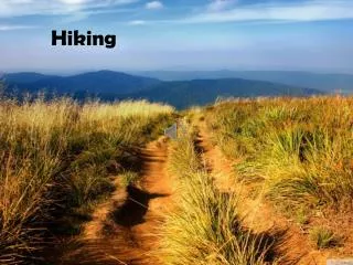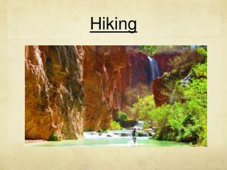
Hiking trails
Explore the breathtaking hiking trails of Slovakia with options for every generation and skill level. From the challenging paths in Slovenské rudohorie to the moderate routes around the picturesque Tatras, there's something for everyone. Prepare for your adventure by wearing suitable clothing and packing essentials like water, snacks, a map, and a compass. Gather your friends or family for a memorable journey into nature, where health and exploration await. Don't miss the chance to discover Slovakia's hidden gems!

Hiking trails
E N D
Presentation Transcript
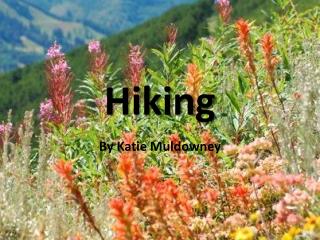
Hiking trails Matúš Farkaš & Maroš Jevočin
Foreverygeneration: canbe chosen from more variationsofdifficulty • A way to • behealthy • get to knowthe country • spendtimewithfriends or yourfamily • Equipment: • Clothes: depends on season, anappropriatefootwear • Backpack: somewater, a snack, somechocolate (someenergy), a map, a compass • Youhave to beprepared: knowtheweather
Slovenské rudohorie • To Hrb • Start: Ľubietová • Ending: Osrblie • Difficulttrail • Approximated time: 6 h • Approximated length: 21 km • Camber: 786 m • Around Dobročský prales • Start: Dobroč • Ending: Dobroč • Moderatelydifficulttrail • Approximated time: 06:45 h • Approximated length: 27 km • Camber: 521 m
Slovenský kras • To Volovec • Start: Rožňava • Ending: Betliar – železničná stanica • Difficulttrail • Approximated time: 07:30 h • Approximated length:22 km • Camber: 979 m • Planina Horný vrch • Start: Bôrka • Ending: Krásnohorská Dlhá Lúka • Moderatelydifficulttrail • Approximated time: 06:15 h • Approximated length:20 km • Camber: 465 m
Pieniny • To Tri koruny • Start: StromowceNizne • Ending: StromowceNizne • Moderatelydifficulttrail • Approximated time: 03:00 h • Approximated length: 8 km • Camber: 502 m • Around Livov • Start: Livov • Ending: Livov • Difficulttrail • Approximated time: 07:00 h • Approximated length: 22 km • Camber: 637 m • Video
Tatras Undifficult hiking trails hiking around Štrbské pleso time: 2:00 h cant: 45 m hiking to Popradské pleso time: 3:30 h cant: 270 m
Tatras Medium difficult hiking trails hiking to Hincovo pleso time: 5:30 h length: 20 km cant: 45 m Difficult hiking trails hiking on Kriváň time: 7:15 h length: 21 km cant: 1285 m
Fatra – the most significant hiking centers: Donovaly s Novou hoľou Malinô Brdo Vlkolínec Video Kráľova studňa Smrekovica
Východné Karpaty Vihorlat – Sninský kameň Vihorlat – Morské oko Bukovské vrchy – Kremenec Slanské vrchy – Izra Kremenec Sninskýkameň Morské oko Izra
Surrounding of Košice Biely kameň Volovské vrchy Šimonka Volovské vrchy Biely kameň
Sources • http://www.turistikaonline.sk/index.php?m=1 • http://www.nahuby.sk/
Thankyouforyourattention Thesummeriscoming, don‘tsitdown, youcangohiking,don‘tgo on yourown. Takeyourfriends!nature is awaitingyou!Itdoesmakesenseto explorewhatis new.