R/V Kilo Moana
430 likes | 707 Vues
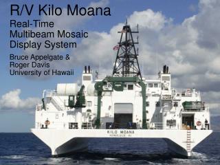
R/V Kilo Moana. Real-Time. Multibeam Mosaic. Display System. Bruce Appelgate &. Roger Davis. University of Hawaii. em1002 (~95 kHz, 0-800 m) em120 (~12 kHz, 500+ m) 150 swath, weather-tolerant. o. Dual multibeams. Multibeam acquisition.

R/V Kilo Moana
E N D
Presentation Transcript
R/V Kilo Moana Real-Time Multibeam Mosaic Display System Bruce Appelgate & Roger Davis University of Hawaii
em1002 (~95 kHz, 0-800 m) • em120 (~12 kHz, 500+ m) • 150 swath, weather-tolerant o Dual multibeams
Multibeam acquisition Using acquisition workstations for survey display & planning: not good
HMRG Software Created for towed SSBS sonars SeaMARC II, HAWAII MR1, SEAMAP, DSL-120A, IMI-30, IMI-12 Processing and charting software for bathymetry and sidescan data DSL-120A & IMI-30 aboard Kilo Moana April, 2004
HMRG Software Modified to process hull-mounted multibeam imagery Simrad em120, em1002, em300, em3000, Reson 8101, Sea Beam 2000, 2112 Melville AHI Knorr Healy Atlantis Thompson Hi`ialakai
Initial Goal • To view chart-like display of multibeam bathymetry and backscatter in real time, separate from acquisition system. Mission Creep • Do all kinds of stuff programmer didn’t initially agree to: pan, zoom, change color lookup tables, flip grayscale polarity, autoscroll, survey planning. Future Plans • More robust survey planning (waypoint export/import) • Helm display for better communication with bridge
Conclusion It works.
How it works • Raw data acquired & logged normally • Data periodically transferred to mosaic computer • Bathymetry & backscatter are gridded at 3 resolutions • Gridded data are incorporated into mosaic display • Based on existing HMRG software for bathy/sidescan processing and mosaic display • Because the mosaic display is separate from the data acquisition system, if bad things* happen to the mosaic display, data acquisition is not adversely affected. • * bad things never happen
Future Plans • More robust survey planning (waypoint export/import) • Helm display for better communication with bridge Kilo Moana Real-Time Display • Works on a variety of multibeam & SSBS sonar systems • Allows science users to interact with multibeam bathymetry and backscatter charts without compromising data acquisition • See a demonstration of the software in action after talk For More Information Bruce Appelgate: bruce@soest.hawaii.edu Roger Davis: rbd@soest.hawaii.edu