Download
1 / 12
120 likes | 272 Vues
SEA-COOS. The Southeast Atlantic Coastal Ocean Observing System. Will follow IOOS model of overlapping regional systems that together form a national system. Partners. No-cost collaborators. University of North Carolina. Naval Surface Warfare Center/USN. University of South Carolina.

E N D
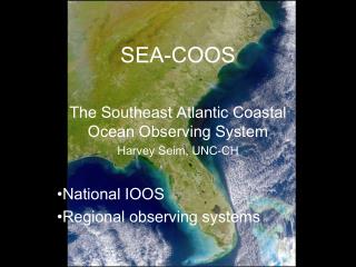
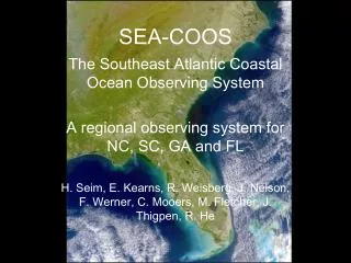
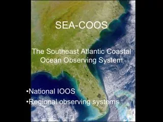
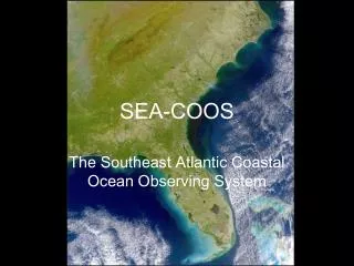
SEA-COOS The Southeast Atlantic Coastal Ocean Observing System
Will follow IOOS model of overlapping regional systems that together form a national system
Partners No-cost collaborators University of North Carolina Naval Surface Warfare Center/USN University of South Carolina CO-OPS/NOS/NOAA Skidaway Inst of Oceanography NAMOC/USN University of Miami National Data Buoy Center /NOAA University of South Florida NCEP/NWS/NOAA NCSU (Sea Grant) Florida Keys National Marine Sanctuary/NOS/NOAA South Carolina Sea Grant Atlantic Oceanographic and Meteorological Laboratory/NOAA University of Georgia (Sea Grant) NCDDC/NOAA University of Florida (Sea Grant) Jacksonville and Miami Regional NWS Offices/NOAA South Carolina Department of Natural Resources Field Research Facility/USACE NCSC/MCNC Southeast Fisheries Science Center/NMFS/NOAA SEA-COOS partners and no-cost collaborators
SEA-COOS includes the coasts of NC, SC, GA and FL, from the • EEZ to head of tide, and will consist of: • An observing subsystem (measures and transmits data) • A communications network and data management subsystem • (organizing and disseminating information) • A data analysis and applications subsystem (translating data into • products for users – computer modeling) • SEA-COOS will contribute to the national system but be • designed to address regional and local needs and concerns
HF Radar major effort in first year – includes installations at Duck, NC, Miami, FL and Tampa, FL Univ. Miami (Shay) will lead effort, has considerable prior experience but with systems with smaller aerial extent
Circulation Modeling: first year effort – to blend existing programs to provide region-wide coverage.
Regional models will provide information products in a variety of formats and will interface to larger-scale modeling efforts. Also are a mechanism to synthesize observations using assimilative techniques.
Data management: essential linkage between regional contributors and with external users.
Outreach/education/collaboration: Non-science users (Sea Grant) Federal agencies (PIs) Management agencies (Sea Grant and PIs) Broader science community (PIs)
Year 1 Goals • More sites reporting real-time observations • Critically evaluate key technologies in field deployments • Use and refine data assimilative modeling techniques • Produce nowcasts and forecasts from circulation models • Implement a regional data management system • Develop mechanisms of information exchange between SEA-COOS and non-research users • Engage the SE research and management community to plan for further development of the system • Develop a working partnership with federal operational and research entities to link to national infrastructure. • Establish a flexible Governance system