Territorial Analysis of Spatial Development Impacts: Accessibility to Motorways in Bulgaria
70 likes | 178 Vues
This study analyzes the potential spatial development impacts and network effects associated with accessibility to operational and planned motorways in Bulgaria. It highlights a significant increase of 4,727 km² in accessible surface area within a 30-minute travel time to motorways. The methodology involves updating the Bulgarian road network and classifying roads by type and funding sources. Travel speeds are considered for different road classifications to determine accessibility. The findings demonstrate the direct influence of motorway projects on regional development.

Territorial Analysis of Spatial Development Impacts: Accessibility to Motorways in Bulgaria
E N D
Presentation Transcript
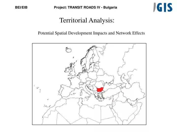
Territorial Analysis:Potential Spatial Development Impacts and Network Effects
Accessibility to motorways in operation Surface at less than 30 minutes: 5.300 Km2
Accessibility to motorways in operation and planned Surface at less than 30 minutes: 10.027 Km2Increase of 4.727 km2
Accessible surface to motorways: Before planned motorways After planned motorways
Area of direct influence of the projectsThe surface at less than 30’ from project motorways entrancesArea:9.090 km2
Methodology: • Actualisation of Bulgary Road Network • Classification of each road depending on the class and the financing source. • Calculation of accessibility to motorways in operation and planned(ICON) within the actual bulgarian road network. Speeds considered are: • Motorways in operation: 110 km/h • Express ways and main roads first class: 85 km/h • Main roads: 70 km/h • Regional roads: 50 km/h • Calculation of accessibility to motorways in operation and planned (ICON) within the actual bulgarian road network. Speeds considered are: • Motorways in operation and planned: 110 km/h • Express ways and main roads first class: 85 km/h • Main roads: 70 km/h • Regional roads: 50 km/h