Laser Guided Land Leveling
190 likes | 376 Vues
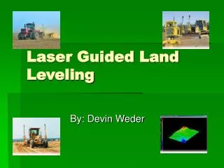
Laser Guided Land Leveling. By: Devin Weder. Major uses. Terracing Pond Construction Subsurface Drainage Construction Sites. How does laser guided land leveling work?. Tractor and Grading Implements Laser Transmitter Laser Sensor Electronic and Hydraulic Control System.

Laser Guided Land Leveling
E N D
Presentation Transcript
Laser Guided Land Leveling By: Devin Weder
Major uses • Terracing • Pond Construction • Subsurface Drainage • Construction Sites
How does laser guided land leveling work? • Tractor and Grading Implements • Laser Transmitter • Laser Sensor • Electronic and Hydraulic Control System
How does laser guided land leveling work? Tractor and Grading Implements The laser guided systems can be mounted on bulldozers, scrapers, road graders, and even terracers.
How does laser guided land leveling work? Laser Transmitter The laser transmitter sends a self leveled 360 degree continuous laser from a tripod in the middle of the site a person is digging. The laser is projected at the plane or slope desired for the dig.
How does laser guided land leveling work? Laser Sensor The laser is picked up by one or more receivers that are hand held, rod mounted or equipment mounted receivers.
How does laser guided land leveling work? Electronic and Hydraulic Control System The laser receiver is connected to the equipments hydraulics. The signals from the laser are used to control hydraulic valves.
Control System • Depth Guide -Keep from going too deep. -Less passes -Less Time
Control System • Surveying Mode -Track elevation of field -Download it to your laptop -Survey and design -More precision
Control System • Field Mapping Through GPS • Plug in to the automatic control • Providing the operator with the exact amount of cut or fill needed to get to the design elevation.
Advantages • Time Saving 80% reduction in dirt movement • Less Labor • Little Or No Error • Cost Effective
Advantages Less Time and Less Labor Fewer passes = Less time No surveying, Less man power and Better finished grade = Less labor
Advantages Little or no Error and Cost Effective With the laser Guided technology the only error possible is human error. Little error, less labor and less time = More cost effective
Disadvantages • Cost $9000 + • Human Error
References • www.trimble.com • www.rockanddirt.com • http://www.rwc.cgiar.org/pubs/22/Laser_Leveler.pdf