Download
1 / 47
470 likes | 604 Vues
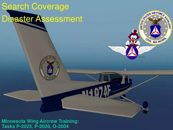
Minnesota Wing Aircrew Training: Tasks P-2025, P-2026, O-2004. Search Coverage Disaster Assessment. Search Coverage. Definitions. Search Involves Estimating the position of the wreck or survivors Determining the area to be searched Selecting the search techniques to be used

E N D
Minnesota Wing Aircrew Training: Tasks P-2025, P-2026, O-2004 Search Coverage Disaster Assessment
Definitions • Search Involves • Estimating the position of the wreck or survivors • Determining the area to be searched • Selecting the search techniques to be used • Last Known Point • Critical Information • A newly learned LKP can completely reshape a search • Possibility Area (Theoretical) • Circle around the Last Known Position (LKP) • The radius is equal to the endurance of the aircraft • Correct for wind • Probability Area (Statistical) • Where is the aircraft likely to be
Determining the Possibility Area No wind endurance Flight level winds: 330/20 Aircraft Speed: 100 Kts Endurance: 2 Hours Therefore, range of aircraft = 200 miles = radius of circle Winds cause circle to be offset by 40 miles 40NM LKP 200 NM Wind vector Corrected forwind Maximum possibility area
Probability Area • Based on past searches • CSAD: Canadian Search Area Definition • 77% Probability of Area (POA) within 10 NM of intended track • 83% POA within 15NM
Probability Area (cont.) • Concentration of cases near LKP and destination • Slightly more in last half, especially last quarter
Narrowing the Probability Area • Flight plan (even if not on file with the FAA) • Is there an ELT? • Weather information • Last point where RADAR had the aircraft identified • Radar coverage as a limiting factor • Airports along the intended flight track • Aircraft performance • Pilots flying habits • Nature of terrain along the flight track • Position reports — fuel stops, etc. • Reports of sightings • Other aircraft • People living along the intended route of flight
The Balancing Act • Limited Resources • Choosing Patterns, spacing, altitudes, etc. • Planning Time in Search Area – how much time does it take to complete a search assignment?
Search Priorities • Areas of bad weather • Low clouds and poor visibility • Areas where weather was not as forecast • High terrain • Areas not covered by radar • Reports of low flying aircraft • Survival factors • Radio contacts or MAYDAY calls
Search Visibility • Not the same as meteorological visibility (distance at which large objects can be seen) • Distance at which an object on the ground can be seen and recognized from an aircraft in flight. It is always less than meteorological visibility • Track spacing should never be more than two times search visibility
Probability Of Detection (POD) • POD expressed as a “percent” search object was detected • Four interrelated factors used to calculate • Track Spacing • Search Visibility • Search Altitude • Type of Terrain • Cumulative POD calculated using a chart • “Effectiveness” must also be considered
Cumulative POD Cumulative Probability of Detection Chart Previous POD 5-10% 15 11-20% 20 25 21-30% 30 35 45 31-40% 40 45 50 60 41-50% 50 55 60 65 70 51-60% 60 65 65 70 75 80 61-70% 70 70 75 80 80 85 90 71-80% 80 80 80 85 85 90 90 95 80+% 85 85 90 90 90 95 95 95 95+ 5-10% 11-20% 21-30% 31-40% 41-50% 51-60% 61-70% 71-80% 80+% POD For This Search
Disaster Assessment • Natural and man-made • Examples of CAP services: • Air and ground SAR services • Air and ground visual and/or video imaging • Flood boundary determination • Air and ground transportation • Courier flights • Radio communications support
How Disasters Can Effect CAP Operations • Effects of extreme weather • Physical landscape may be so altered as to make maps obsolete or make navigation difficult • Damage or destruction of area infrastructure • Effects of biological, chemical or radiological terrorism (or accidental release)
Assessment • Flying damage assessment sorties is not much different from our SAR search patterns • The big difference is what you look for • Should be asking questions such as: • What is the geographical extent and severity of the damage? • Is the damage spreading? If so, how far and how fast? • How has access/egress been affected? • What are the primary and secondary hazards? • Is the disaster threatening critical structures or areas? • Have utilities been affected or are they threatened? • Can you see alternatives to problems?
Assessment • Some specific things to be looking for are: • Breaks in pavement, railways, bridges, dams, levees, pipelines, runways and structures • Roads/streets blocked by water, debris or landslide • Downed power lines • Ruptured water lines • Motorists in distress or major accidents • Alternate routes for emergency vehicles or evacuation • Distress signals from survivors
Assessment • At each site, besides sketching or highlighting the extent of the damage and identifying access and egress routes, you should record: • Latitude and longitude • Description • Type and extent of damage • Photo number, or time reference for videotape • Status and trends
Wide image of train wreck Chemical spill (hazmat)
Missing Person Search • A person is very difficult to spot from the air if they are not actively trying to be spotted • Lost children and people with diminished capacity can be especially difficult to spot from the air; often they will hide from searchers • Lost people often fight topography; children under five years frequently travel uphill • Important to know what color clothes they were wearing (not just the outer clothes) and their habits
Person on the Ground PLAIN SHIRT, 1000 AGL
Person on the Ground PLAIN SHIRT, 500 AGL
Person on the Ground CAMO SHIRT, 500 AGL
Person on the Ground YELLOW SHIRT, 500 AGL
Person on the Ground BLUE SHIRT, 500 AGL
Person on the Ground ORANGE SHIRT, 500 AGL
Person on the Ground SIGNAL MIRROR, 500 AGL