Download
1 / 19
190 likes | 625 Vues
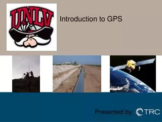
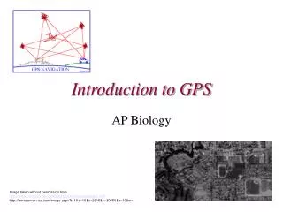
Introduction to GPS-Photo Link By GeoSpatial Experts Viewing Instructions : Click left mouse or press Enter to continue slide show What is GPS-Photo Link?

E N D
Introduction to GPS-Photo Link By GeoSpatial Experts Viewing Instructions : Click left mouse or press Enter to continue slide show
What is GPS-Photo Link? GPS-Photo Link is software that “links” digital photos to the GPS coordinates where they were taken WITHOUT any connecting wires in the field.
How can it link photos to GPS coordinates without wires? • GPS-Photo Link downloads the photos from the camera and the GPS tracklog or waypoints from the GPS receiver. Next it matches the timestamp from the photo to the closest timestamp in the GPS data. What if the camera and GPS are not set to the same time? GPS-Photo Link allows you to correct for differences when you run the program.
How is GPS-Photo Link used? GPS-Photo Link is useful any time photos need to be matched with the location where they were taken. Common applications include: • Asset mapping • Surveying • Weed mapping • Real Estate • Trail conditions • Crime scene investigations • Ground truthing / remote sensing • Aerial Photography • Vacation logs
Cameras Any digital camera that stores date and time (timestamp) in the photos can be used. Most cameras have this feature. GPS Receivers Garmin Magellan Leica Trimble Other Receivers Using third party data transfer program such as: Waypoint+ OziExplorer Fugawi What are the GPS and camera requirements?
How to use GPS-Photo Link In the Field Running Software Final Product
In the Field Simply go to the site of the photos, turn on the GPS and make sure it has a position. Next, take a photo of the GPS or another reliable time source (computer, satellite clock, etc.) Take pictures while the GPS is running a track log or enter a waypoint when the picture is taken.
Back at the Computer Run GPS-Photo Link Software Software will download pictures and GPS information from the GPS unit itself or from files in a third party transfer program.
Correct for any time differences GPS-Photo Link asks you to compare the time of the camera to the GPS time. • It calculates the difference and matches images to coordinates accordingly. GPS Time
Customize Photos You can choose from a wide variety of colors and styles for the photo labels (watermark). Adjust font & color Select which information to include Preview
Customize Photos You can also select what information to include on each photo. Name all the photos in the series Edit Photos Give individual photos unique names Enter direction, comments, etc.
The Finished Product Web pages Watermarked photos ESRI output & ArcView Extension Google Earth
Overview web page created GPS-Photo Link creates an overview page with: • an overview map indicating where all the photos were taken (click on a point and that photo will pop up), • a thumbnail directory of all photos.
Sample Overview web page Overview Map Numbered Photo locations Thumbnail Directory
Individual Web pages A web page is created for each photo including: • watermarked photo • maps downloaded from the internet • information about the photo including date, time, location and any comments
Sample photo web page Watermarked Photo Maps downloaded from the Internet Information about the photo
ArcView Extension • ArcView 9.x extension allows hot-linked photos plus: • Hover over a point and the thumbnail photo will popup (must have "Web Pages (HTML)" selected as file output in GPS-Photo Link). • Change symbol arrow indicating the direction in which the photo was taken. • Click on a point in the picture.shp theme, the watermarked photo will then be displayed. • Load Picture as Layer : Loads the photo as a theme in ArcMap. Useful for use in layouts. • Load Background Image - Loads a downloaded background image, such as an aerial photo or topo map.
Google Earth • GPS-Photo Link automatically imports your photos and track logs into Google Earth. Google Earth allows you to view from the ground perspective in metro areas.
How can learn more about GPS-Photo Link? • Visit www.GeoSpatialExperts.com • Try the free demonstration copy (from CD or download from www.GeoSpatialExperts.com) • Email Info@GeoSpatialExperts.com • Call 1.303.255.2908 (8:30-5:00, U.S. Mountain Time)