Download
1 / 10
100 likes | 310 Vues
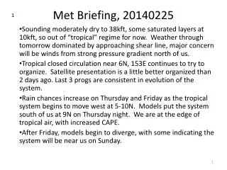
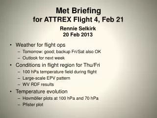
Met Briefing f or ATTREX Flight 4, Feb 21. Rennie Selkirk 20 Feb 2013. W eather for flight ops Tomorrow: good; backup Fri/Sat also OK Outlook for next week Conditions in flight region for Thu/Fri 100 hPa temperature field during flight Large-scale EPV pattern WV RDF results

E N D
Met Briefing for ATTREX Flight 4, Feb 21 Rennie Selkirk20 Feb 2013 • Weather for flight ops • Tomorrow: good; backup Fri/Sat also OK • Outlook for next week • Conditions in flight region for Thu/Fri • 100 hPa temperature field during flight • Large-scale EPV pattern • WV RDF results • Temperature evolution • Hovmöller plots at 100 hPa and 70 hPa • Pfister plot
4 AM Thursday – 21 Feb 12UT / NAM 24HR A B DISCUSSION • Overall, looks good for 7 AM takeoff: • Weak surface winds, but increasing to 10 kts from NE by mid-morning • Northwesterly flow aloft • RH @ 700 hPa <30%: stable, descending air; ~40% low cloudiness C
Long range outlook G H TUESDAY, 2/26 • Tuesday looks problematic • Short-wave trough passing through • Likely precipitation Later on…. 500 hPa ridge passage Friday, so positive outlook after Tuesday
380 K EPV – GEOS-5 Mid-flight 22 Feb 00UT • We will be deep into tropical air from about 12°N southward
RDF Results – 22 Feb Cloud probability or zones of dehydration • Possible thin cirrus along track near 5°N
RDF Results – 22 Feb Net dehydration • South of 10°N, the track traverses region of weak dehydration (0.8 to 1.1 ppmv)
Hovmöller diagram at 0° – 100 hPa T (Very) approx. time-longitude flight window • Eastern Pacific warming up
Hovmöller diagram at 0° – 70hPa T (Very) approx. time-longitude flight window • Traveling wave features more prominent
100 hPa T and 70following upward trend in 70 hPa T since • Temperatures at both levels still approx. 2 K below 20-year averages