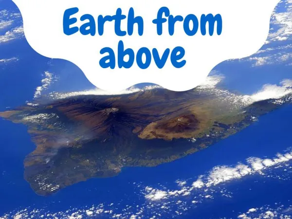
Australia from above
The Land Down Under as seen from the air.
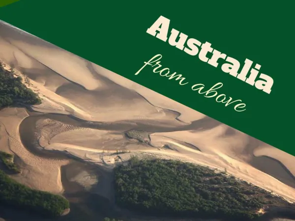

Australia from above
E N D
Presentation Transcript
Salt pans and dams are scattered across drought-affected farmland in South Australia, November 12, 2015. REUTERS/David Gray
An area of vegetation can be seen amongst drought-affected farmland in South Australia, November 12, 2015. REUTERS/David Gray
A road cuts through arid land in outback Western Australia, November 12, 2015. REUTERS/David Gray
Sand banks and dunes can be seen along the coastline in South Australia, November 12, 2015. REUTERS/David Gray
Lines of trees can be seen amongst drought-affected farmland in South Australia, November 12, 2015. REUTERS/David Gray
An airstrip and roads can be seen in outback Western Australia, November 12, 2015. REUTERS/David Gray
Newly planted rows of trees can be seen in a fire-affected area on the outskirts of Perth, Western Australia, November 12, 2015. REUTERS/David Gray
A general view of a road next to sand dunes covered in vegetation in the Pilbara region of Western Australia, December 2, 2013. REUTERS/David Gray
Salt pans and small dams can be seen in drought-affected farming areas located on the outskirts of the Western Australian capital city of Perth, March 8, 2015. REUTERS/David Gray
A small dam and roads can be seen in drought-affected farmlands in outback Western Australia, November 12, 2015. REUTERS/David Gray
Salt pans and dams are scattered across drought-affected farmland in Western Australia, November 12, 2015. REUTERS/David Gray
A small dam containing water is seen in a dry paddock next to another that has been affected by a fire on the outskirts of Melbourne, March 12, 2014. REUTERS/David Gray
Areas of vegetation can be seen amongst drought-affected farmland in South Australia, November 12, 2015. REUTERS/David Gray
Bucket-wheel reclaimers move iron ore at a loading terminal in the town of Port Hedland, located in the Pilbara region of Western Australia, December 3, 2013. REUTERS/David Gray
A dried-up river can be seen in the Pilbara region of Western Australia, December 2, 2013. REUTERS/David Gray
A truck drives along a dirt road in the Pilbara region of Western Australia, December 3, 2013. REUTERS/David Gray
Mining operations can be seen at the Rio Tinto alumina refinery and bauxite mine in Gove, also known as Nhulunbuy, in Australia's Northern Territory, July 16, 2013. REUTERS/David Gray
Burnt trees line a small creek in a paddock affected by a fire on the outskirts of Melbourne, March 12, 2014. REUTERS/David Gray
A general view of dried-up rivers in the Pilbara region of Western Australia, December 2, 2013. REUTERS/David Gray
A truck drives along a road in the Pilbara region of Western Australia, December 2, 2013. REUTERS/David Gray
Trees grow in a dried-up river bed in the Pilbara region of Western Australia, December 2, 2013. REUTERS/David Gray
Roads go off in various directions next to sand dunes covered in vegetation in the Pilbara region of Western Australia, December 2, 2013. REUTERS/David Gray
A general view of dried-up river beds and hills in the Pilbara region of Western Australia, December 2, 2013. REUTERS/David Gray
A river is seen flowing among sand dunes in the Tanami Desert located in Australia's Northern Territory, July 15, 2013. REUTERS/David Gray
A gorge can be seen along the Katherine River, in northern Australia, July 15, 2013. REUTERS/David Gray
Tracks can be seen leading to a well located in the Tanami Desert in Australia's Northern Territory, July 15, 2013. REUTERS/David Gray
A small dam containing water is seen in a paddock affected by a fire on the outskirts of Melbourne, March 12, 2014. REUTERS/David Gray
A beach can be seen along the coastline of Arnhem Land, east of the city of Darwin in Australia's Northern Territory, July 16, 2013. REUTERS/David Gray
A beach can be seen along the coastline of Arnhem Land, east of Darwin, in Australia's Northern Territory, July 15, 2013. REUTERS/David Gray
A small lake is seen among sand dunes in the Tanami Desert located in Australia's Northern Territory, July 15, 2013. REUTERS/David Gray
The sun is reflected in a pond located along a dirt road near the Gulf of Carpentaria in Australia's Northern Territory, July 21, 2013. REUTERS/David Gray
Shadows of clouds can be seen along the coastline of the Gulf of Carpentaria in Australia's Northern Territory, July 21, 2013. REUTERS/David Gray
The East Alligator River flows through Arnhem Land, located east of Australia's Northern Territory city of Darwin, July 15, 2013. REUTERS/David Gray
Mining operations can be seen at the Rio Tinto alumina refinery and bauxite mine in Gove, also known as Nhulunbuy, located 650 kilometers (404 miles) east of Darwin in Australia's Northern Territory, July 16, 2013. REUTERS/David Gray
A river can be seen flowing through Arnhem Land, east of the city of Darwin in Australia's Northern Territory, July 15, 2013. REUTERS/David Gray