Earth
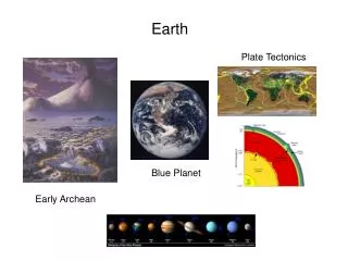
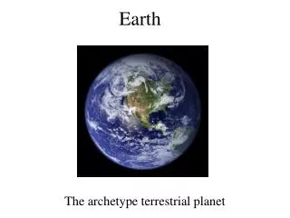
Earth. circumference 24,901 miles. radius 3957 miles. Earth. Earth: Then and Now. (4.6 Billion years ago). Differentiation : Process that led to Earth ’ s layers; Denser materials like Iron sank to the center, and lighter materials rose to the crust. Earth ’ s Interior.

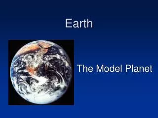
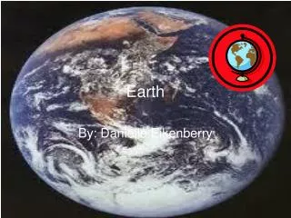
Earth
E N D
Presentation Transcript
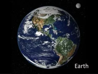
circumference 24,901 miles radius 3957 miles Earth
Earth: Then and Now • (4.6 Billion years ago) Differentiation: Process that led to Earth’s layers; Denser materials like Iron sank to the center, and lighter materials rose to the crust
Earth’s Interior • 3 Compositional Zones • Crust • thin, outermost layer • varies in thickness • continental crust is thicker than oceanic crust • Mantle • middle layer • more dense than the crust • Core • central sphere • iron and nickel
Earth’s Interior • 5 Structural Zones • Lithosphere • crust and upper mantle • rigid layer • Asthenosphere • less rigid layer of the mantle beneath the lithosphere • ‘plastic’ means that it flows very slowly • Mesosphere • Lowest part of the mantle • solid rock • Outer Core • liquid • Inner Core • - solid
Kola Superdeep Borehole (1970-1989) 12,261m 180° C How deep can we drill into Earth?
Using Seismology: Earthquakes generate waves that travel through Earth and are recorded on the surface.
Exploring Deep Earth Seismology, Gravity, Geomagnetism (real life) Seismometer
Continental Drift: The hypothesis that states that the continents once formed a single landmass, broke up, and drifted to their present locations Scientist: Alfred Wegener 1912
Pangea Supercontinent that formed 300 million years ago and that began to break up beginning 250 million years ago
Evidence for Continental Drift • 1. Fossil Evidence • Found small extinct land reptile fossils on both South America and Africa continent which had lived 270 million years ago. • 2. Rock Formations • The ages and types of rocks in the coastal regions of widely separated areas matched closely.
Rocks and mountain formations match where continents used to meet
Evidence for Continental Drift • 3. Climatic Evidence • Geologists have found glacier debris in Africa and South America suggesting they were once in a colder region. Plant fossils from the tropics at the poles. • 4. Shape of the Continents • The Shape of the continents fit together like a puzzle such as South America and Africa.
Several continents show evidence of having glaciers in the past
Plate Tectonics Plate tectonics is the theory that explains how large pieces of the lithosphere, called plates, move and change shape.
Convection Convection is the movement of heated material due to differences in density that are caused by differences in temperatures
Mid-Ocean Ridges (MOR) Oceanic crust was formed more recently than almost all continental crust, and the youngest of all crust is at the MORs.
Seafloor spreading: New oceanic lithosphere forms as magma rises to Earth’s surface and solidifies at a mid-ocean ridge
Magnetic reversals and magnetic symmetry: Earth’s magnetic field has flipped direction in the past, meaning that sometimes magnetic North is towards Earth’s North Pole and sometimes magnetic North is towards Earth’s South Pole.
Newly formed ocean crust gets magnetized Makes ‘Stripes’ of Normal and Reverse Polarity ‘Stripes’ symmetrical around mid-ocean ridge
North Geographic Pole: the point in the northern hemisphere where the Earth’s spin axis meets the Earth’s surface North Geomagnetic Pole: the point in the northern hemisphere today where the pole of an imaginary bar magnet producing Earth’s field meets Earth’s surface
North Geographic Pole: top of Earth North Geomagnetic Pole: where your compass points
Rocks with iron in them got magnetized by Earth’s field! Paleomagnetism: studying magnetization of old rocks
Divergent Boundaries • Divergent boundaries occur when plate are rifted, or split, apart and begin to move apart. • Creates large sections of oceanic crust. • Crust is created in this type of boundaries.
Convergent Boundaries • Convergent means to converge, or bring together. • Plate boundaries in which one plate (Oceanic) is pushed down under another (Continental) plate. • Oceanic crust is destroyed at this type of boundary.